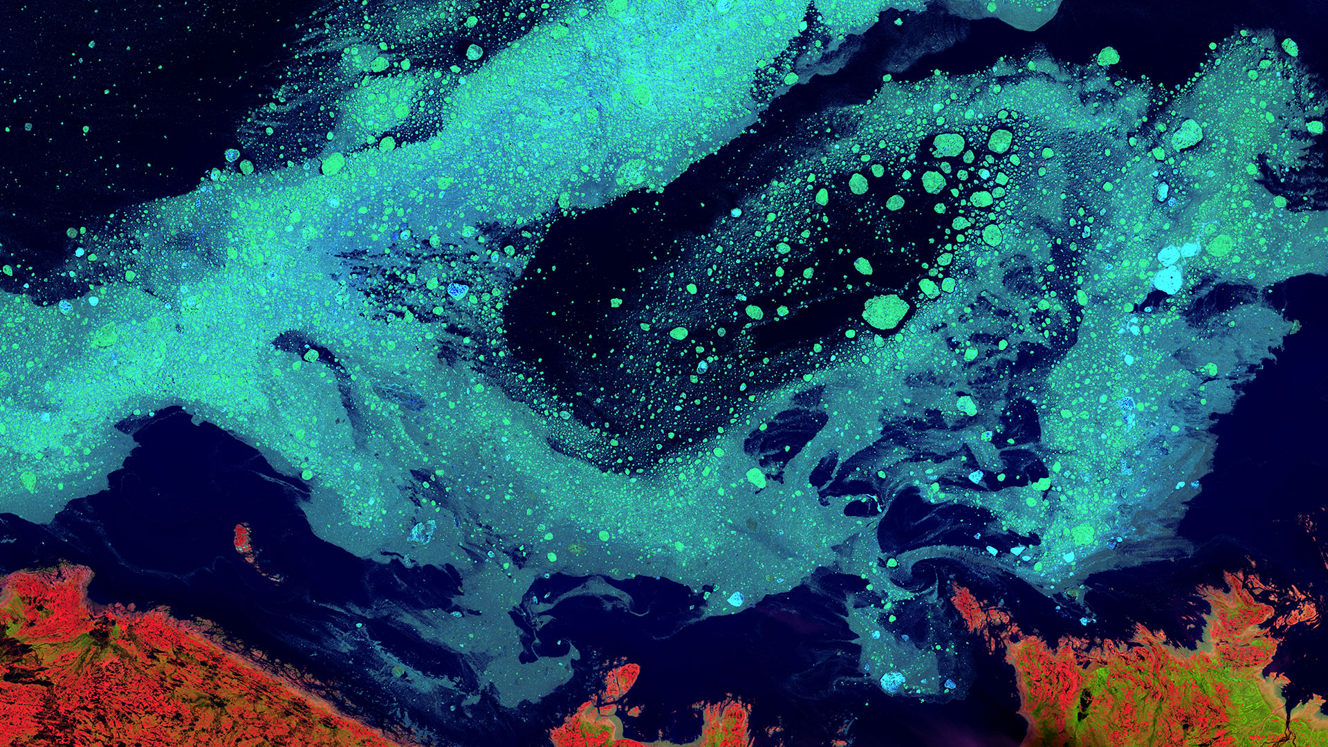
Discover the variety of ways you can access satellite, aerial, drone and more imagery in the USGS Earth Resources Observation Science (EROS) Center archive.
EarthExplorer
EarthExplorer (EE) is a client/server interface that provides access to the U.S Geological Survey (USGS) Earth Resources Observation Science (EROS) Center archive. Current EE data collections include aerial photography, satellite imagery, elevation data, land cover products, and digitized maps as well as remotely-sensed data for a variety of USGS projects and partners. More than 180 data collections are accessible through EE.
GloVis
The USGS Global Visualization Viewer (GloVis) is a quick and easy online search and order tool for selected satellite and aerial data. The viewer allows user-friendly access to browse images from the multiple EROS data holdings. Through a graphic map display, the user can select any area of interest and immediately view all available browse images within the USGS inventory for the specified location.
How to register and download data
Landsat in the Cloud
Learn about ways to access aerial and remote sensing imagery stored in the EROS archives. Browse your backyard, or peer around the planet!
The USGS is placing a copy of its consolidated Landsat global data inventory into a commercial cloud. See the USGS press release for more information. The move to the cloud is designed to reduce the time needed to create new products and to reprocess the Landsat data inventory into a new Collection. For taxpayers, placing a copy of the data inventory into the commercial cloud provides convenience and a more cost-effective mechanism to reprocess more than 48 years of Landsat data, as well as cloud-enabled access to new and improved Landsat data products as part of Collection 2.
The following videos provide information on the opportunities cloud-hosted Landsat Data will provide.
LandsatLook
The LandsatLook Viewer is a prototype tool that was developed to allow rapid online viewing and access to the USGS Landsat image archives. This viewer allows you to:
- Interactively explore the Landsat archive at up to full resolution directly from a common Web browser
- Search for specific Landsat images based on area of interest, acquisition date, or cloud cover
- Compare image features and view changes through time
- Display configurable map information layers in combination with the Landsat imagery
- Create a customized image display and export as a simple graphic file
- View metadata and download the full-band source imagery
How to Select & Download


