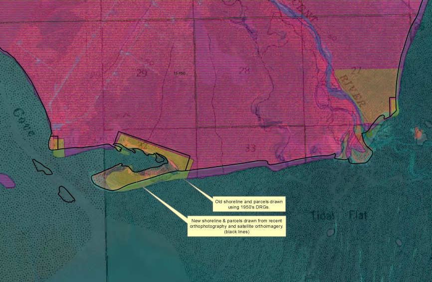
The Alaska Land Resources Program Center uses orthoimagery available from the Alaska Region's GIS site. Prior to good high-resolution digital orthoimagery, the location of many parcels were drawn using the USGS quads (DRGs) or other data that were often dated or of lower resolution. By using more recent orthoimagery in combination with the survey plat or legal descriptions, we are able to update tracts and boundaries with increased accuracy.
Parcel boundary updates are digitized from current orthophotography


