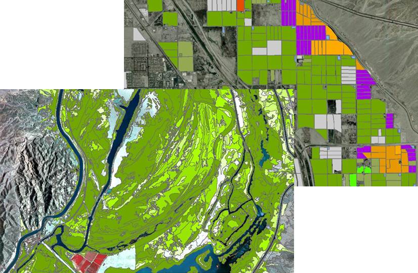
The Bureau of Reclamation routinely monitors more than 3.5 million acres of agriculture and riparian vegetation along the Lower Colorado River from Hoover Dam to the Southerly International Boundary. Data generated include crop and riparian types, acreages, and associated water use estimates. Remote sensing and Geographic Information Systems (GIS) are the primary tools used for this activity. These data assist Reclamation in accounting for water use by each state and individual water user, verifying fallowed lands for conservation programs, and other water management analysis needs.
Riparian and Agriculture GIS database generated from remote sensing processes.


