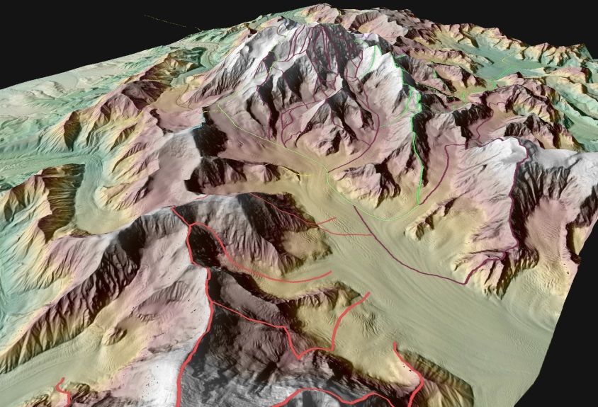
The NPS along with other Federal and State agencies in Alaska are partnering in a multi-year multi-million-dollar mapping initiative to update topographic (elevation) information for the entire State. During the past several years, 5-m IFSAR elevation data have been acquired over approximately 34% of Alaska, including 43% (23.7 million acres) of NPS lands. In 2012 the NPS received its first delivery of the new airborne IFSAR elevation data, which included coverage of Mt. McKinley, North America’s tallest peak, located in Denali National Park and Preserve (see figure showing elevation data of Mt. McKinley). More elevation data will be delivered in 2013 for Bering Land Bridge National Preserve, Cape Krusenstern National Monument, Noatak National Preserve, and Glacier Bay National Park and Preserve. This project is an important step toward achieving more accurate base maps for Alaska national parks. The new elevation information will help determine status and trends of ecosystems, soils, vegetation, and climate change. These data will also help improve interpretive displays, project planning, evaluations of regulatory compliance; and aid decision support to improve public safety.
 Common climbing routes superimposed on IFSAR elevation data of Mt. McKinley (Denali), North America’s tallest peak.

