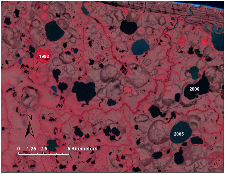
The lowlands of the NPS ARCN, like much of the arctic and subarctic, have extensive areas of lakes and ponds. According to the National Hydrography Dataset (USGS NHD 2012) there are approximately 1,090 km² of surface water in lakes and ponds in ARCN. The area of lakes and ponds in some parts of Alaska has declined in recent decades. Whether these changes represent long-term trends or are merely cycles that will eventually reverse is important to consider. Water bodies are important both as habitat for aquatic wildlife and as indicators of changes in the hydrologic balance. For this reason, ARCN has included monitoring of surface water area as a part of the Terrestrial Landscape Patterns and Dynamics Vital Sign program. For this study, the surface area of lakes and ponds was mapped across the ARCN using Landsat images (30-m resolution) from 1985-2011, and trends in lake area were summarized.
2002 Landsat image of the Bering Straits Lower Coastal Plain in Bering Land Bridge National Preserve, Alaska, (color infrared color scheme: vegetation is colored red). The numerous lakes and ponds occupy basins produced by thermokarst (subsidence from thaw of ice-rich permafrost). Roughly circular outlines of former lake basins that have drained are visible between existing lakes.


