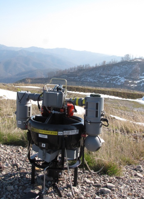
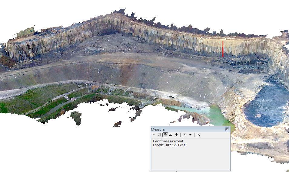
OSM partnered with the USGS to investigate the use of Small Unmanned Aerial Vehicles (SUAV) to assist States with a more efficient and effective means of conducting oversight investigations of both active and abandoned mines. Aerial inspections of eight mine sites in West Virginia were conducted during the first week of November 2012 using a SUAV. The project used the RQ-16 T-Hawk® Micro Air Vehicle (T-Hawk), shown in the picture below. The T-Hawk captured data using a high-definition video camera. These areas included approximately 6,500 acres with 4 miles of sediment control structures. The products derived from the SUAV data included spatially accurate mosaicked imagery and a derivative 3D surface representation. The project demonstrated that SUAV technology can effectively measure features within active coal mines, such as highwall features shown in the picture below. With mosaicked images and 3D models, inspectors can determine if features meet applicable State and Federal laws and regulations or need further investigation.
RQ-16 T-Hawk Micro Air Vehicle
Demonstration of the ability to measure the height of a "highwall" from derived model.


