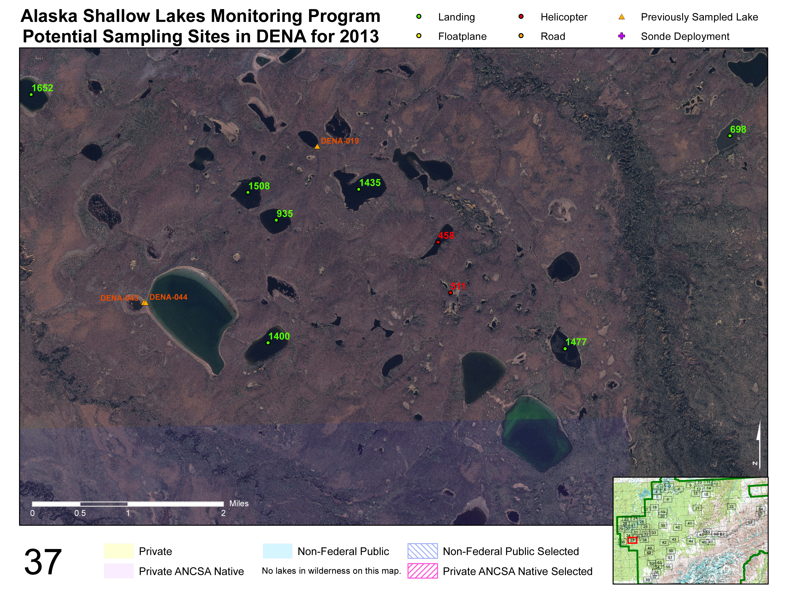
The Alaska Shallow Lake Monitoring Program, part of the NPS Inventory and Monitoring Program, monitors the water quantity and chemistry of shallow lakes along with the composition of the vegetation communities associated with the lakes in six national parks and preserves in Alaska. In order to find and identify the lakes that are selected for sampling, maps are produced using high-resolution satellite imagery such as SPOT-5 or IKONOS and 1:63,360 scale topographic map layers.
All of the potential sampling lakes are marked on the maps and color-coded by access type. Previously sampled lakes and existing continuous monitoring sites, the locations of which are collected using submeter mapping-grade GPS receivers, are also marked on the maps. We use the ArcGIS Data Driven Pages layout to generate a set of maps that provide full coverage of all the potential sampling sites, and for each extent we generate one map using the best available imagery and one map with a topographic base layer. These maps are then used in the field to navigate to the correct lakes selected for sampling.
http://science.nature.nps.gov/im/units/cakn/vitalsign.cfm?vsid=34

An imagery map produced for use in Denali National Park and Preserve during sampling efforts in 2013. Base imagery is IKONOS satellite imagery, the lakes selected for sampling are marked with their identification number and color-coded by access type, previously sampled lakes are marked, and land status layers are included. The map extent (Map 37 in this example) is indicated in red in the index map.

