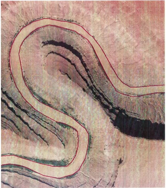
BLM Utah is conducting river shoreline surveys with the Bureau of Indian Affairs (BIA). Many of the rivers are located in very steep sandstone cliff formations that are hundreds of feet deep and are dangerous or inaccessible to surveyors. To delineate the current shorelines of some of the most challenging areas along the San Juan and Green Rivers, we used National Agriculture Imagery Program (NAIP) 2011 imagery. The imagery was georectified using ground survey data—X, Y, and Z coordinates—collected at accessible field points that were distinctive on the aerial photographs. We used image processing within a Geographic Information System (GIS) environment to georectify the NAIP 1-m imagery by matching control point locations on the imagery model to the survey data. The shoreline was then manually digitized from the rectified aerial photography, creating a linear dataset, which was then reincorporated into the cadastral model (see graphic).

Shoreline data extraction from NAIP imagery.

