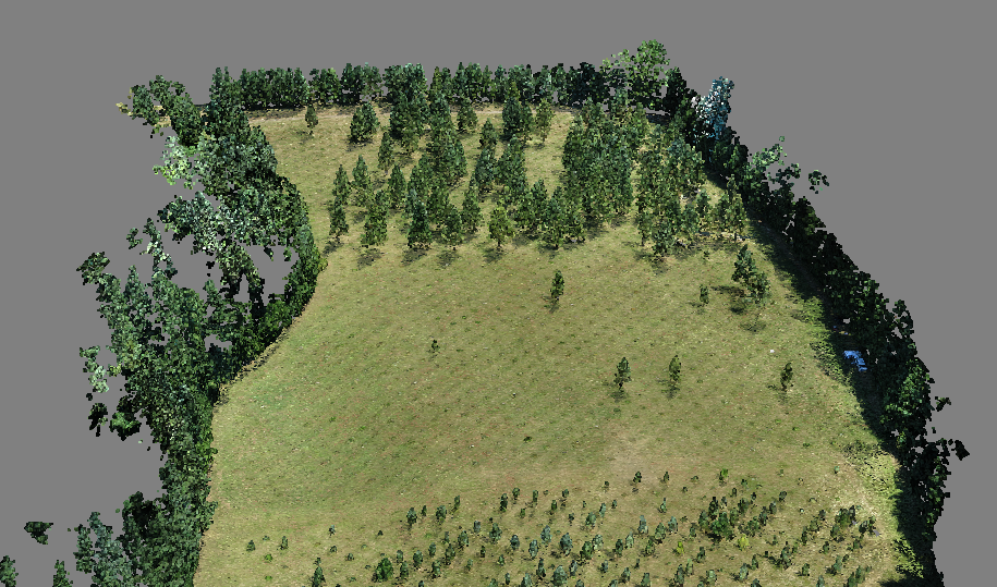
In July 2014, the BLM National Operations Center, BLM Walter Horning Seed Orchard, and the BLM Oregon/Washington State Office explored the use of unmanned aerial systems (UAS) to map conifer tree orchards, produce 3D models of various seed orchard plots, and assist in cone counts within the Walter Horning Seed Orchard in northern Oregon. The RQ-16C T-Hawk hover aircraft and the fixed-wing RQ-11A Raven were flown to collect images using high-resolution off-the-shelf imaging cameras. A Canon S-100 and a Sony HDR-AS100V were evaluated. Imagery was collected with stereo overlap to enable 3D model generation using Agisoft Photoscan software. A point cloud classification was then performed using custom tools developed at the BLM National Operations Center to distinguish bare ground, grasses, trees, and shrubs. Orthophotos of the orchard plots were also created for mapping purposes. While the UAS-collected imagery was adequate for mapping and 3D model generation, the individual cones were too small to detect at the resolution offered by the cameras. In order to conduct individual cone counts or estimates of cone production, different UAS platforms and cameras would be required.

3D dense point cloud of Douglas fir orchard.

