Hawaiian Islands National Wildlife Refuge
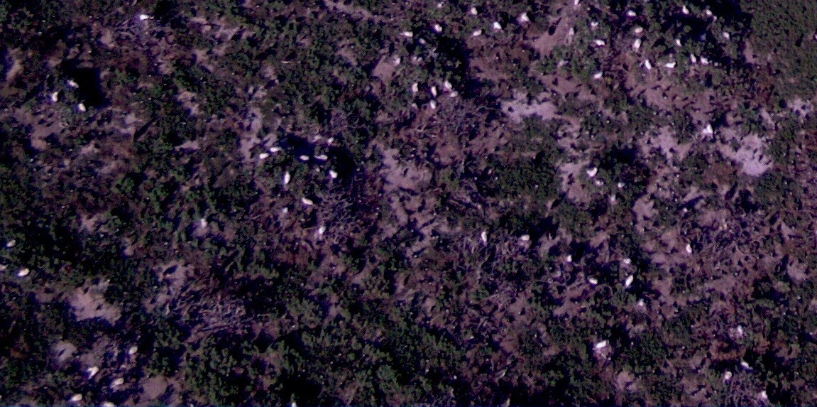
During June and July 2014, the FWS partnered with the National Oceanic and Atmospheric Administration (NOAA) and National Aeronautics and Space Administration (NASA) to test the feasibility of using unmanned aircraft systems (UAS) in the northwestern Hawaiian Islands to monitor seabirds and vegetation. The Puma All Environment UAS, owned and operated by NOAA, was flown at 200 feet to 2,000 feet above ground level (AGL); it has a 9-foot wingspan and can be hand launched from a ship, small boat, or land. The Ikhana (Predator B), owned and operated by NASA, has a 66-foot wingspan and was flown at 10,000 feet to 20,000 feet AGL. Both aircraft were equipped with electro-optical and infrared video sensors. This was the first time either UAS was deployed outside the conterminous United States.
While these missions included several Federal agencies with many objectives, FWS’s primary objective was to determine if those systems could provide imagery suited for monitoring vegetation and seabird populations within the remote Hawaiian Islands National Wildlife Refuge. The hope is to use these remote sensing data to classify vegetation and determine percent soil moisture on three islands located within the Hawaiian Islands National Wildlife Refuge. The ability to determine percent soil moisture will help to understand the emergence cycles of a nonnative invasive grasshopper that threatens several endangered endemic plants and birds on Nihoa Island.
If successful, this new technology could substantially improve the efficiency, quality, and timeliness of data collection needed to monitor and identify crucial changes in order to manage resources within the refuge.
Remote Sensing Technology

Puma image of seabirds, green sea turtles, and marine debris captured from 200 feet AGL at Trig Island, French Friate Shoals, Hawaii

Puma image of vegetation and seabirds on Tern Island, French Frigate Shoals, Hawaii, from 250 feet AGL.

