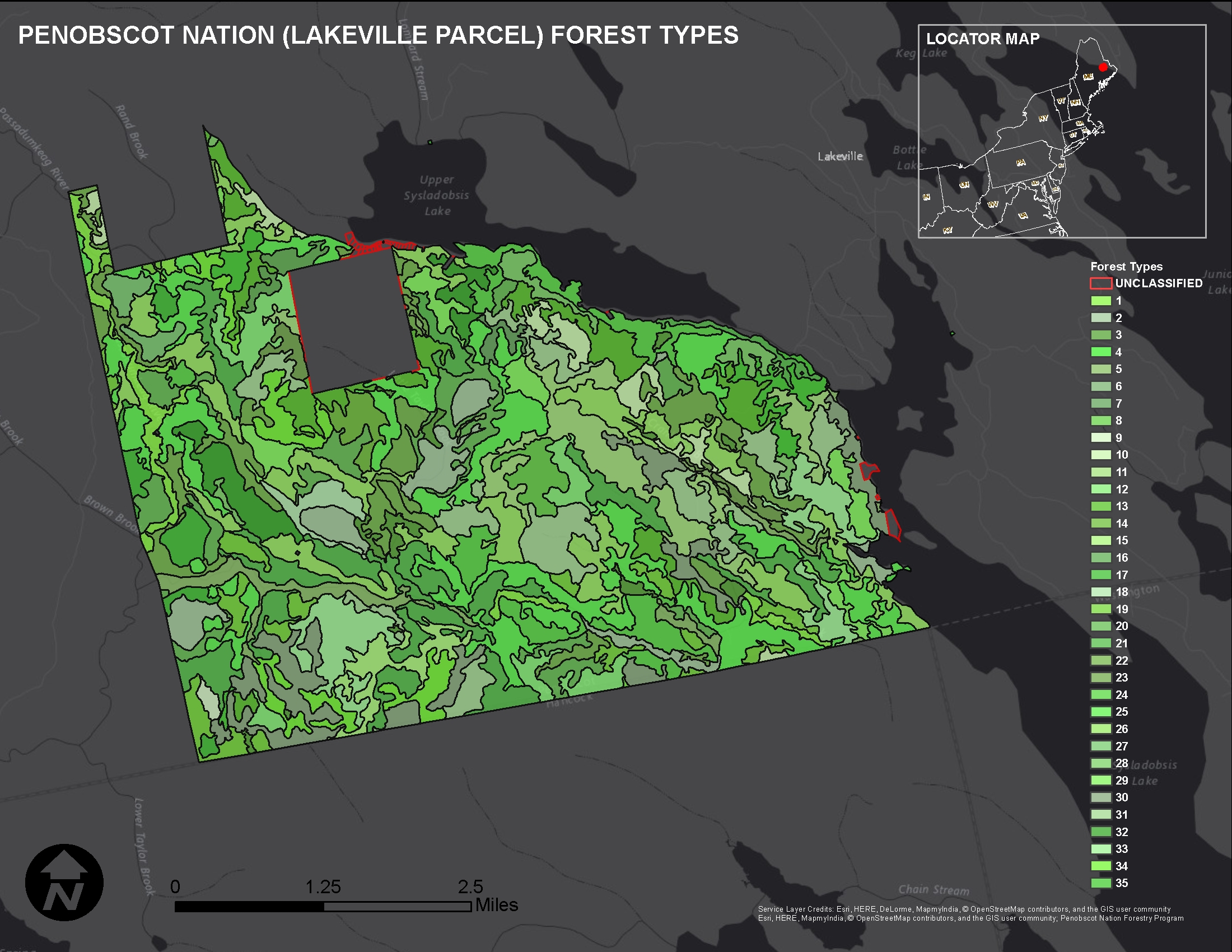
The Penobscot Nation in Maine, a federally recognized Indian Tribe, utilized remote sensing imagery to map forest resources on their reservation. The Tribe hired a contractor to capture aerial color imagery at a scale of 1:15,840. After post-collection analysis of the acquired imagery, a forest cover map was created for the 14,000-acre Lakeville parcel. The map incorporated minor and major tree species (hardwoods and softwoods), stand density, and forest floor cover. This forest map will enable the Penobscot Nation Forestry Program to determine which areas require silvicultural treatments.

Penobscot Nation (Lakeville parcel) forest cover map.

