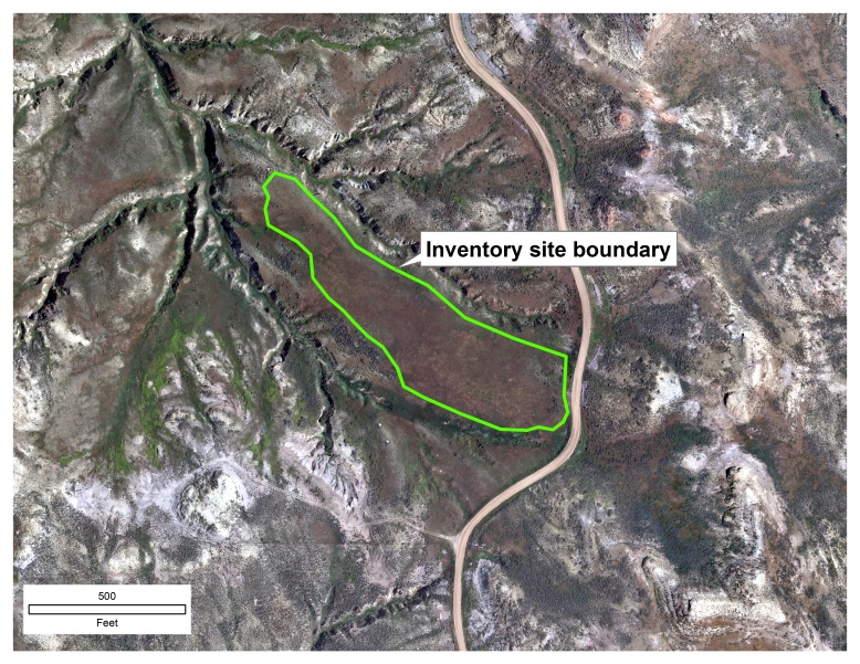
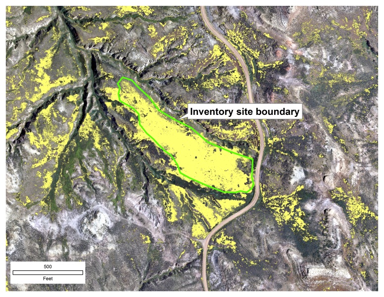
The Wyoming State BLM is using digital aerial imagery to identify cheatgrass (Bromus tectorum) in a portion of the greater sage-grouse core and connectivity areas in northeastern Wyoming. Cheatgrass degrades sage-grouse habitat mainly by carrying fire through the landscape and incinerating nests, eggs and young. On June 23, 2014, the BLM Wyoming State Office and the Buffalo Field Office entered into a contract with the Wyoming Department of Transportation to collect digital aerial imagery early in the growing season, when the cheatgrass was in cure stage but when other vegetation was still green. Once identified, the mapped cheatgrass infestations could be used for planning treatments to improve sage-grouse habitat. The product was 6-inch ground sample distance (GSD) 4-band orthoimagery. The project covered approximately 847 square miles for a total of 1,030 orthomosaic tiles, with each tile comprising around 570 acres.
The field office used supervised classification methods in ArcMap 10.1 Spatial Analyst to categorize the features in the imagery, targeting public land and burned areas within the project area.
In 2015, the Buffalo Field Office again contracted with the Wyoming Department of Transportation to collect additional imagery for approximately 475 square miles. The 2015 area of interest includes sections intensively developed for coalbed natural gas from 2003 to 2011 that are now being reclaimed. Overall, the project is meeting the objective of mapping potential invasive species treatment areas within greater sage-grouse habitat.


An inventory site and one of the orthomosaic tiles. The classified cheatgrass infestations are shown in yellow. North is oriented toward the top of the image.

