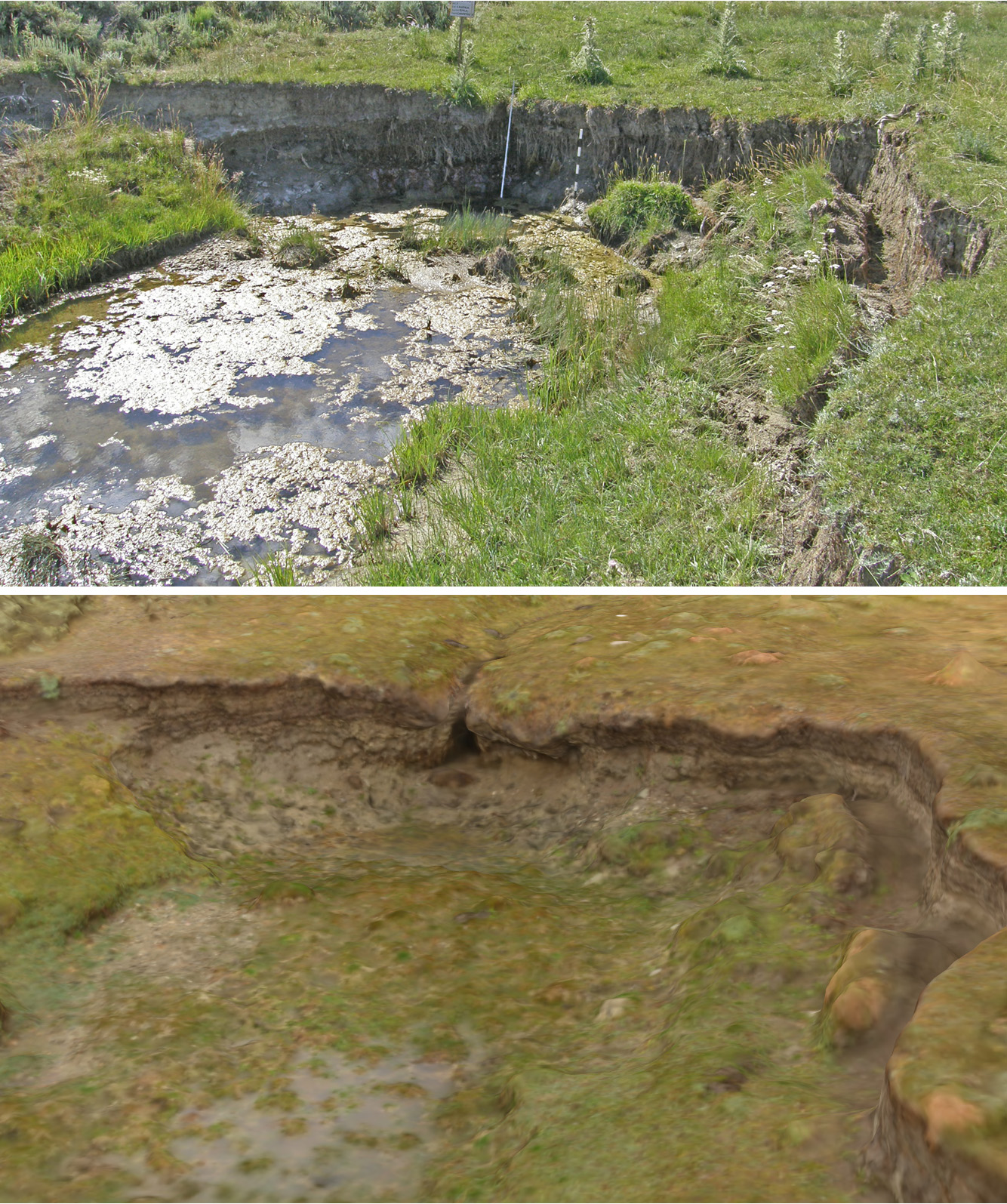
Warming climate and chronically diminished snowpacks are straining water resources in the western United States. Properly functioning riparian systems slow runoff and store water, thus regulating extreme flows; however, riparian areas across the West are in a degraded condition, including a majority of BLM-managed riparian systems. Symptoms of poorly functioning riparian systems include headcuts, which are the leading edges of channel erosion that result in lost organic soil and water-holding capacity. We coupled areial and ground-based photography to map headcuts and calculate resulting soil loss volumes. We used 1.4-mm Ground Surface Distance (GSD) aerial image surveys of riparian areas in the Sweetwater Subbasin of central Wyoming to identify 163 headcuts that were undetectable from 1-m GSD imagery, and only visible in 30-cm GSD imagery when their locations were already known. We used ground-based photography of 19 headcuts with ground control to create structure from motion (SfM) models from which we measured total soil loss of 425–720 m3, or about 1.1–1.8 m3 per linear meter of channel. These headcut terrain models provide baseline position and elevation data for trend monitoring of riparian systems.

A headcut photograph (upper, 2010) and SfM 3D model (lower, 2013) illustrate the loss of organic soil and water-holding capacity in this wet meadow.

