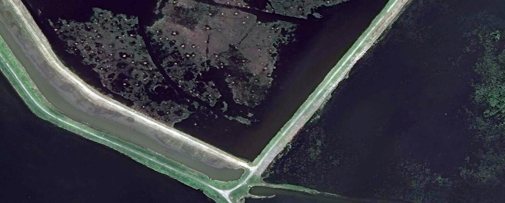
Under certain circumstances, wildlife populations can be directly counted or inferred from satellite imagery. The first group to publish a population assessment from space-borne data was the Polar Geospatial Center, who inventoried the Emperor Penguin. That pioneering study has led to a number of new high-resolution satellite approaches to inventory suitable wildlife populations. In this example, muskrat (Ondatra zibethicus) houses can be seen and counted directly using DigitalGlobe WorldView submeter satellite imagery, which is available through the National Geospatial-Intelligence Agency's (NGA) EnhancedView Program. Managers can manually count and map houses through the seasons to infer muskrat populations. Our more advanced geospatial analysts can automatically extract and count muskrat houses using image object approaches.

DigitalGlobe WorldView-2 50-cm image taken June 2, 2015, over Pointe Mouilee State Game Refuge, Michigan. The white circles are muskrat houses, which are formed into circular dome shaped mounds using cattails and phragmites vegetation. Image courtesy of the NGA EnhancedView Program and DigitalGlobe. North is oriented toward the top of the image.

