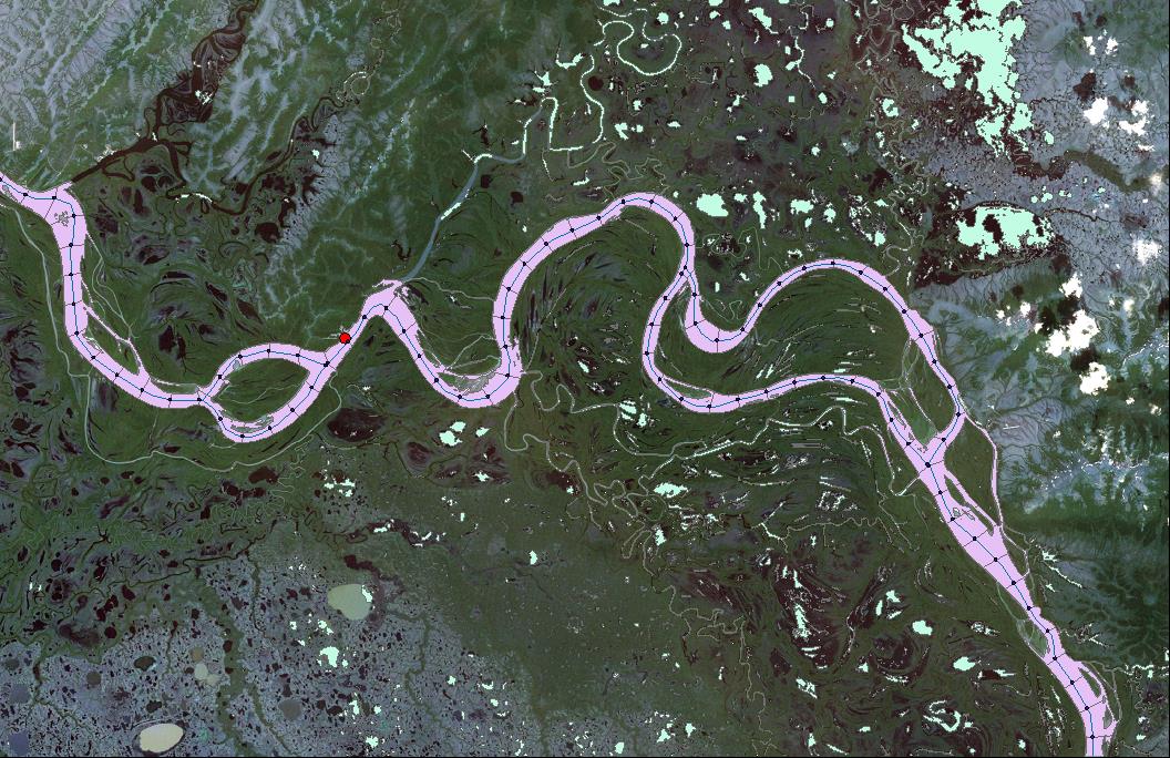
The USGS, in cooperation with the University of Maryland Earth System Science Interdisciplinary Center, is investigating the dynamics of the Yukon River in Alaska by combining analysis of the water surface area in selected river reaches with satellite radar and lidar altimeter capabilities. The analysis of the altimetry data includes measuring and estimating water surface height and along-channel water surface slope. The USGS is estimating water surface width from Landsat imagery in the selected river reaches inclusive of USGS streamgages. The water surface slope, height, and river width dynamics will be used to estimate the river discharge, depth, and velocity dynamics. The discharge estimation method includes a) continuing to develop and evaluate the methods of estimating river discharge using radar-derived water levels (stage) supplemented by channel width estimates and b) improving the estimation accuracy by developing specific calibration functions that use maximum width, channel slope, and other geomorphic information as calibration parameters. The river channel length and width are derived from Landsat imagery by the USGS Earth Resources Observation and Science (EROS) Center using automated techniques developed by the USGS (Dynamic Surface Water Extent mapping tool;
http://remotesensing.usgs.gov/ecv/SWE_overview.php

Inland Surface Water Projects
Landsat image of the Yukon River reach near the USGS streamgage (red dot) near Pilot Station, Alaska. The water surface area of the river reach is shown in pink and is broken into segments to facilitate the estimation of downstream changes in width and meander length.

