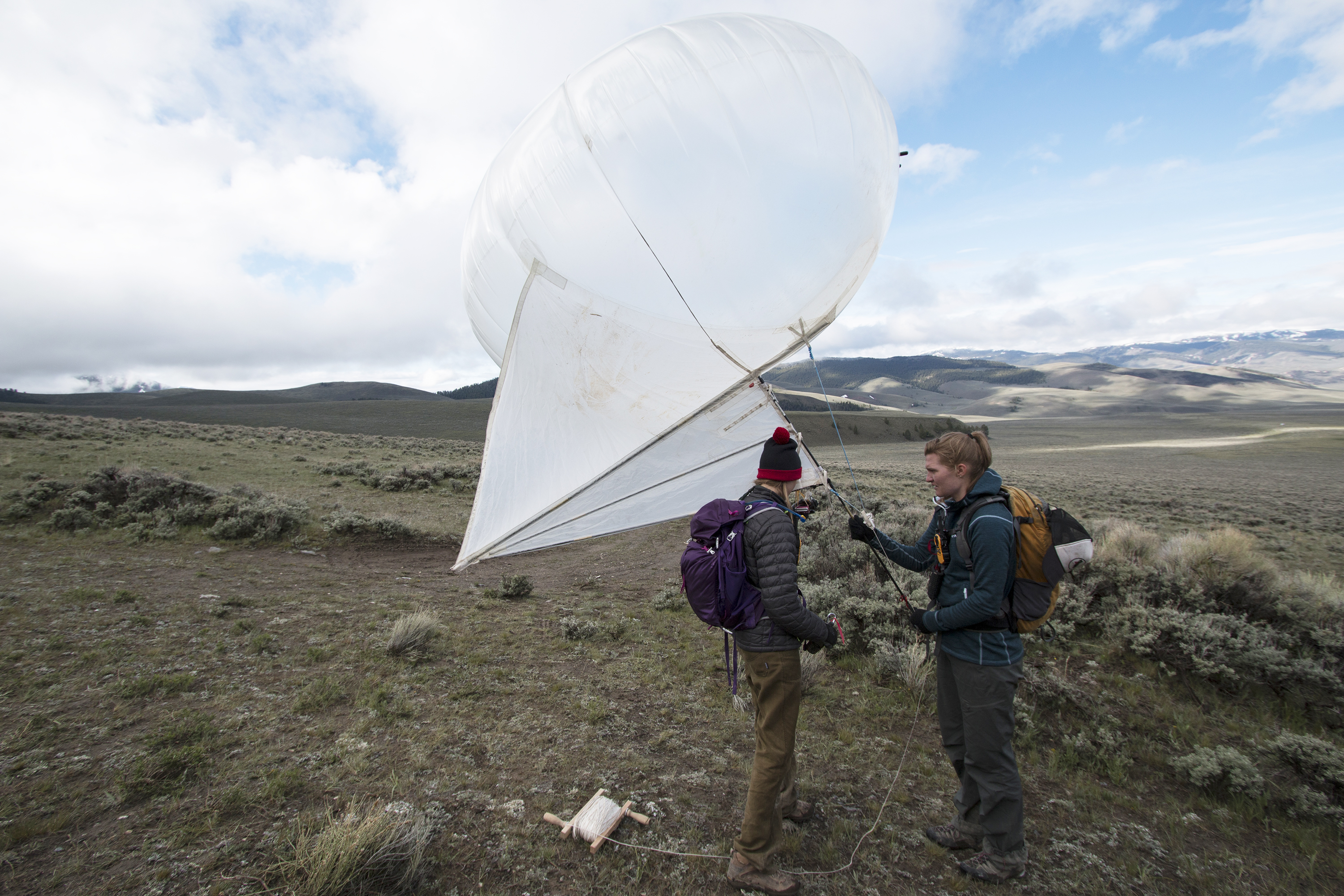
A detailed aerial survey of the 35-km-long, 6.9 magnitude Borah Peak earthquake rupture that occurred in 1983 is being conducted by USGS scientists from the Geologic Hazards Science Center (GHSC) in Golden, Colorado, in collaboration with researchers from the USGS Unmanned Aircraft Systems (UAS) Project Office, the Colorado School of Mines, and Utah Valley University. Photographs collected from a tethered balloon and a UAS system during the project will be processed to derive a high-resolution (~5 cm), three-dimensional model of the Borah Peak rupture. These data will be used to analyze fault displacement and will result in an improved understanding of surface deformation associated with a surface-rupturing earthquake. Information of this type can be used to mitigate hazards associated with future earthquakes.
The work will be conducted in two phases:
Phase I (May 2015, complete): Photographs were collected from an aerial platform (tethered balloon) along about one-third (12 km) of the rupture.
Phase II (September 2015): Photographs will be collected using a small, unmanned glider.

Colorado School of Mines graduate students Kendra Johnson and Lia Lajoie prepare a helikite (tethered balloon) to launch for the collection of photographs along the 1983 Borah Peak earthquake rupture.

