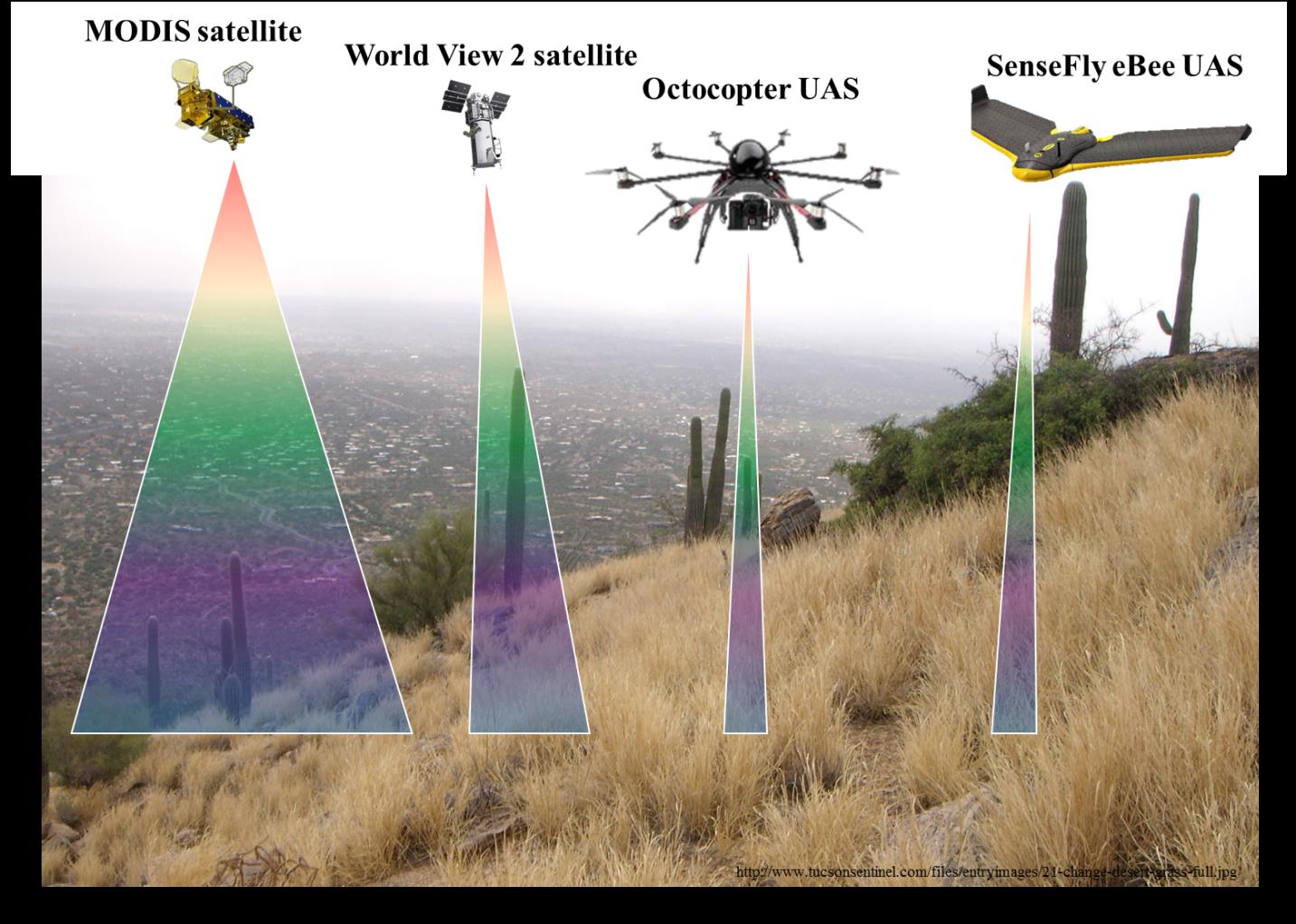
USGS, Northern Arizona University (NAU), and National Park Service (NPS) scientists are collectively evaluating cutting-edge remote sensing methods to detect invasive species that threaten ecosystem stability. The researchers are using a suite of remote sensing tools that range from sensors aboard Unmanned Aerial Systems (UAS) to high-resolution satellite imagery to detect buffelgrass (Pennisetum ciliare), a non-native perennial grass that is rapidly spreading across NPS lands and adjacent areas in the Sonoran Desert in the southwestern United States. In contrast to sparsely distributed native Sonoran Desert vegetation, buffelgrass can form large, continuous monoculture patches that carry fire quickly and broadly across the landscape. Repeated exposure of non-fire adapted native plants to fires fueled by buffelgrass may ultimately transform ecosystems. The NPS and partner agencies face tremendous challenges to detect and monitor buffelgrass with limited resources. Remote sensing approaches can complement NPS monitoring while expanding the spatial scale and increasing the temporal frequency for more rapid detection.

USGS and NAU scientists are developing a hierarchical, multi-sensor approach to detect buffelgrass at different spatial scales. Scientists are leveraging coarse- and fine-resolution satellite imagery (from MODIS and WorldView-2, respectively) and much finer resolution data from the UAS platforms shown here that carry sensors to acquire multispectral, hyperspectral, photogrammetric, and lidar measurements of vegetation, soil, and topography.

