The Cascades Volcano Observatory is using a recently completed lidar survey of Glacier Peak volcano in the northern Cascade Range of Washington to reveal its geologic history. At higher elevations, Glacier Peak is mostly covered by snow and ice, while at lower elevations, the landscape is obscured by dense forest. The steep terrain of Glacier Peak lies within the vast Glacier Peak Wilderness of the Mount Baker National Forest, making access extremely challenging for traditional ground-based geologic mapping. Lidar collection of Glacier Peak and its river drainages provides a high-resolution view of volcanic deposits within the snow and ice fields as well as beneath the dense forest canopy. Preliminary data are being used to guide mapping and sampling efforts of deposits that were previously unseen, especially in heavily forested areas. The goal of this effort is to reveal the geologic history of Glacier Peak to better understand the volcano’s hazards. Preliminary work suggests that Glacier Peak may be one of the most explosive volcanoes in the Cascade Range, placing it in the highest threat category within the Volcano Hazards Program’s National Volcano Early Warning System. The lidar data will also guide placement of much-needed additional monitoring equipment on the volcano.

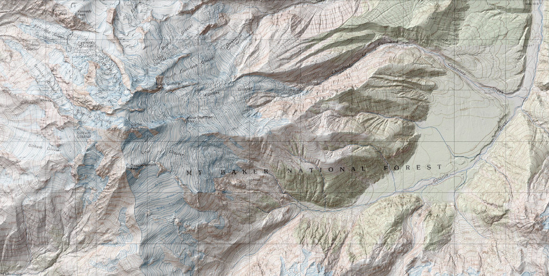
Map shows 1-m lidar-derived digital elevation model (DEM) data superimposed on a 1:24,000 USGS topographic map of the center of the lidar collection area for Glacier Peak. Glacier Peak’s high altitude, steep terrain, and extremely dense forest cover make lidar collection perhaps the most difficult in the conterminous United States. The lidar data are being used for geologic mapping to reveal volcanic deposits on the mountain as well as in steep, forested river drainages. Elevation models derived from the lidar data will be used for computational modeling of volcano hazards, such as lahars (volcanic mudflows) that could travel downstream and affect nearby populated areas.

