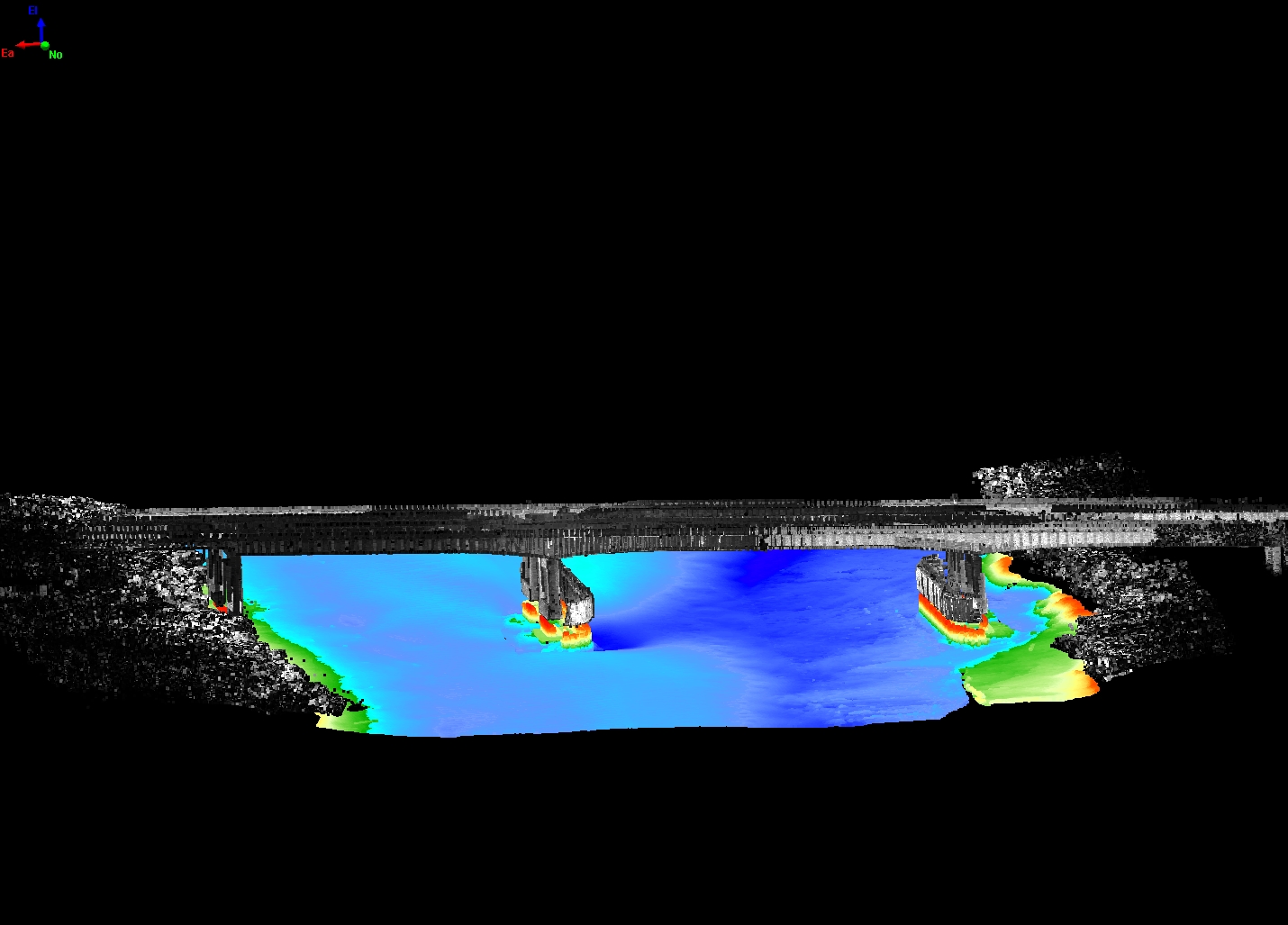
In 2014, the U.S. Department of Transportation, Federal Highway Administration (FHWA), and the USGS began a cooperative program to assess existing scour-related countermeasures emplaced and designed to stabilize erosion at various bridges throughout the United States. Scour is a major cause of bridge failures, resulting in potential loss of life, and large, consequential financial losses. Additional information needs to be gathered regarding the status of existing scour countermeasures to better understand and engineer more effective countermeasures. The purpose of this project is to conduct bridge scour countermeasure evaluations for a set of hydraulically and geographically diverse sites using advanced technology. USGS scientists are using a combination of multibeam sonar and terrestrial lidar data to collect accurate, high-resolution three-dimensional data above and below the water surface.

Three-dimensional dataset of scour countermeasures.

