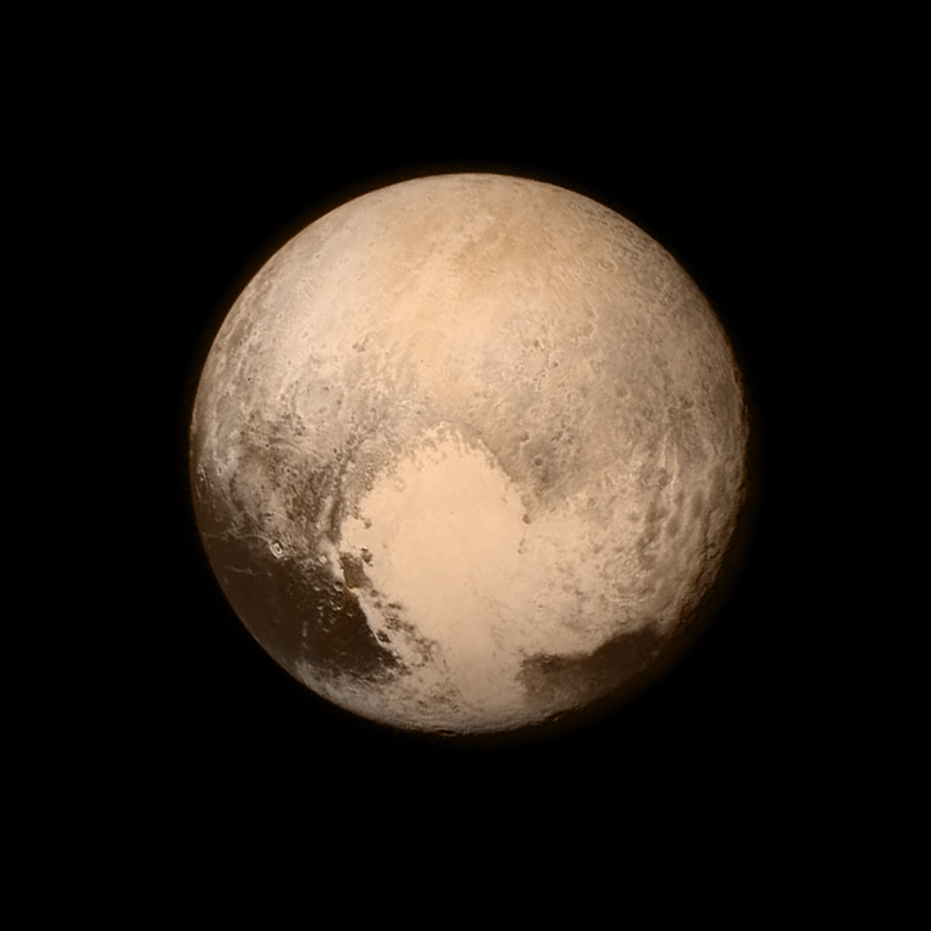
The USGS Astrogeology Science Center provides cartographic software and other support to both the Dawn and New Horizons missions exploring the dwarf planets Ceres and Pluto, respectively. This software is essential for putting remote sensing data into a consistent cartographic framework, allowing the information from different instruments to be combined. The ability to do such data fusion is the basis for many advanced data analysis methods used to test models and hypotheses.

Pluto as seen by the New Horizons spacecraft a day before closest approach. This image is an example of combining data from two different instruments: here, the high-resolution monochromatic image has been combined with color information from a lower resolution multispectral image. Image created by the mission team from the John Hopkins University Applied Physics Laboratory and the Southwest Research Institute.

