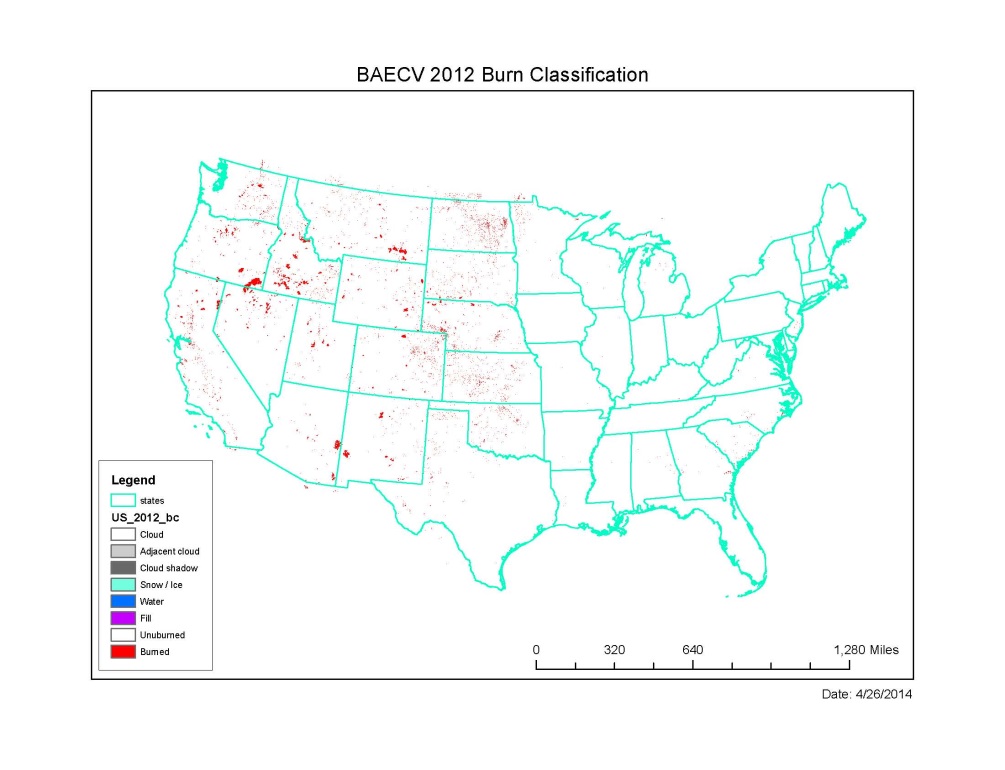
The Land Remote Sensing Program is sponsoring the development of Landsat science information products, referred to as essential climate variables (ECVs), that are designed to be more readily used in research and applications by removing some of the data processing burden from the end user. In this particular case, a “burned area” product is being generated that is a proxy for fire disturbance, which is an important parameter used for modeling ecosystem dynamics and biogeochemical cycling.
The burned area ECV products compare favorably with results from the methodologies implemented by the LANDFIRE and Monitoring Trends in Burn Severity (MTBS) projects and therefore may complement and augment the information generated by those projects. The systematic generation of the burned area ECV extending back through the historical archive of Landsat TM and ETM+ data, and moving forward with the Landsat 8 operational land imager (OLI) data, will provide a valuable source of information related to landscape disturbance at national to local scales. For further information, contact John Dwyer, USGS EROS, dwyer@usgs.gov.
http://remotesensing.usgs.gov/ecv/BA_overview.php

This map shows the 2012 annual summary of burned area extent for the conterminous United States as defined by the burned area essential climate variables (BAECV) product.

