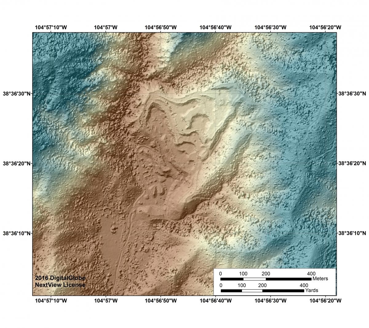
The BLM uses an array of remote sensing technologies to support resource management. The BLM National Operations Center (NOC) is currently employing Unmanned Aerial Systems (UAS) and spaceborne high-resolution imaging systems to assist the Royal Gorge Field Office (RGFO) with mine production verification. For several RGFO mines, the BLM has developed preliminary fine-scale (~1-m) digital surface model elevation products derived from WorldView-2 and WorldView-3 stereo imagery acquired in late 2015 and 2016 that document elevation changes due to ore extration and tailings accumulation. These WorldView-derived products provide a current depiction of surface cover; they also fill a gap between, and are complementary to, broader scale elevation data (e.g., National Elevation Dataset (NED)) and datasets derived from fine-scale systems (e.g., UAS flown at close-range).
Digital Surface Model and color hillshade derived from 2016 WorldView-3 commercial stereo imagery, Red Canyon Mine, Colorado.

