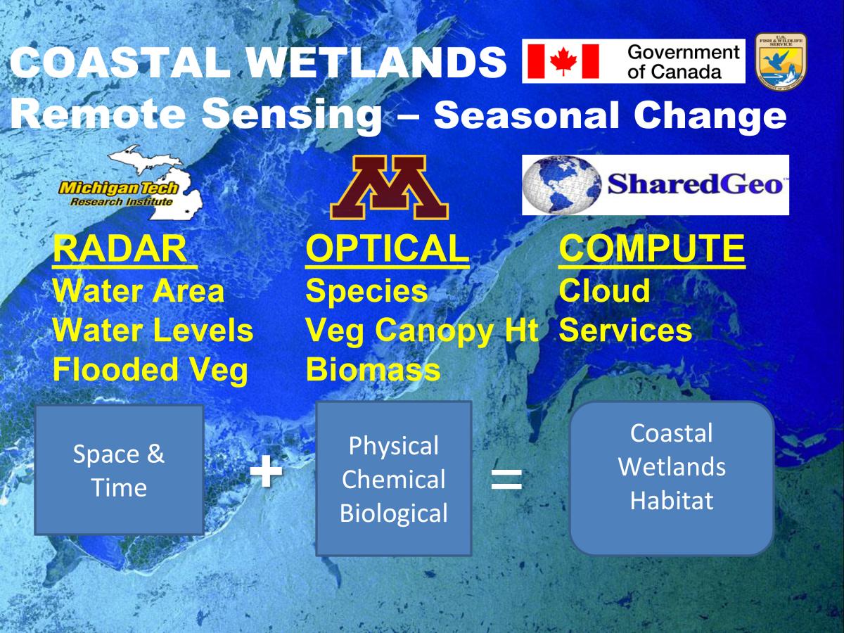
Repeated collection of high spatial resolution satellite imagery over the entire Great Lakes coastal zone will allow resource managers to better understand, manage, and preserve the region’s dynamic wetland ecosystems. In a binational effort lead and funded by the FWS, researchers at Michigan Tech Research Institute, the University of Minnesota, and SharedGeo are collaborating with the Canada Centre for Remote Sensing and with Environment and Climate Change Canada to produce updated and improved maps of critical coastal wetland characteristics such as surface-water extent, water levels, and vegetation classifications.
This multi-year effort will obtain submeter DigitalGlobe optical imagery via the National Geospatial-Intelligence Agency and Radarsat2 radar imagery via the Canadian Space Agency. Optical imagery will be acquired through the National Science Foundation (NSF)-supported Polar Geospatial Center and processed by University of Minnesota personnel. Radar imagery will be processed jointly by the Canada Centre for Mapping and Earth Observation (Natural Resources Canada) and the Wildlife Research and Landscape Science Unit (Environment and Climate Change Canada), in collaboration with Michigan Tech Research Institute. SharedGeo will provide additional computing and outreach support. Combining information about the physical, chemical, and biological properties of coastal wetlands over space and across time will yield improved coastal wetland habitat information and knowledge.
Reference Link: http://www.tandfonline.com/doi/abs/10.1080/17538947.2011.608813
https://www.fws.gov/midwest/es/

With a Radarsat2 image of Lake Superior in the background, this image shows the conceptual model of the collaboration and process to produce improved coastal wetland information for the Great Lakes.

