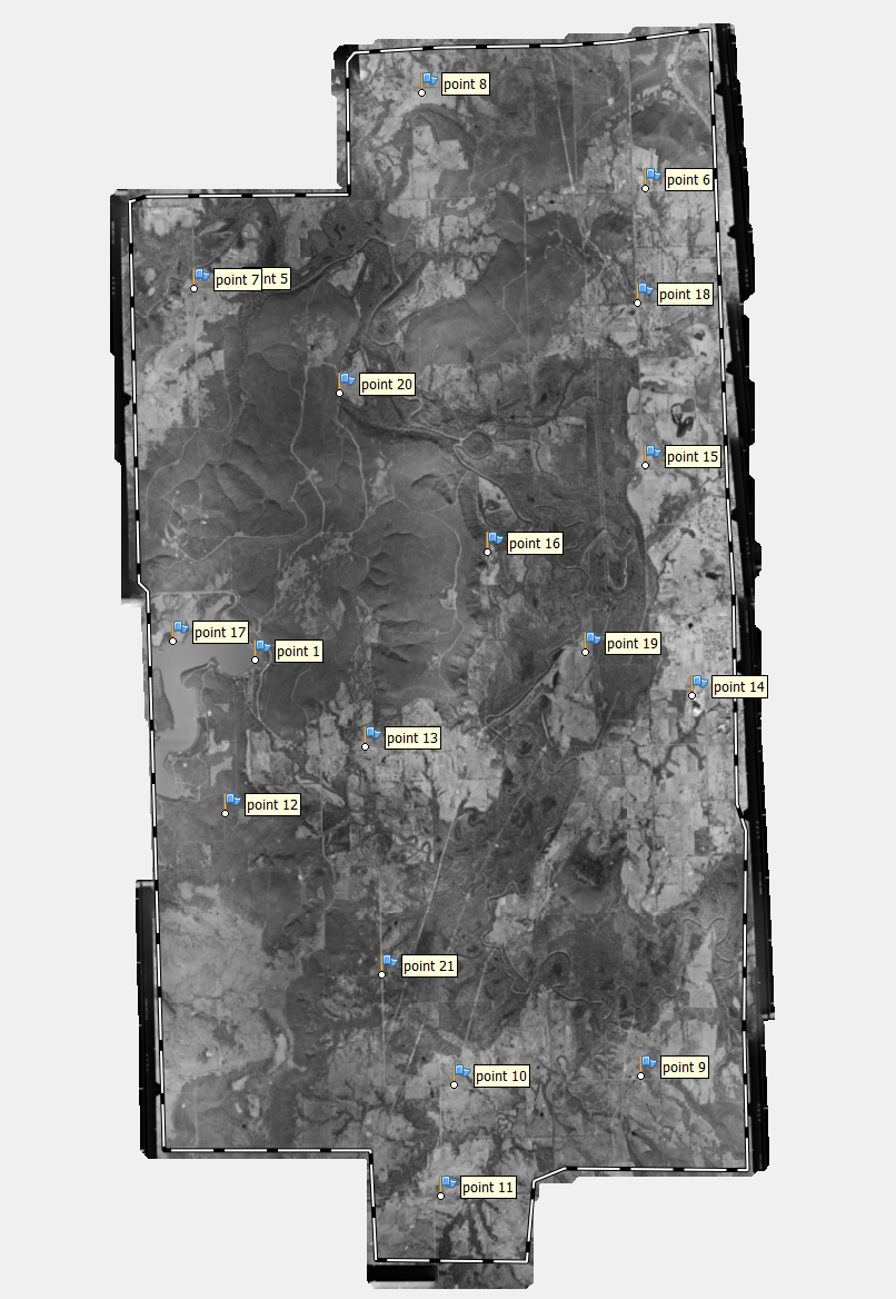
To facilitate the location of abandoned oil wells, orthomosaic images were created from historical aerial photos acquired in 1972 and 1969. Agisoft Photoscan was used to create camera calibration files and align the 15 images from 1972 and 38 from 1969. The images were georeferenced, identifying features from the historical imagery present in current imagery. The coordinates of these features were used to create markers in Photoscan to reference the images, creating an accurate photomosaic with 2- to 4-meter error. Although the best results are expected if the images have the same provenance, Agisoft will create separate camera calibration files for images with different dimensions or resolution. The more reference markers that can be identified and used to create each camera calibration file, the greater the resulting positional accuracy will be in the final mosaic. The newly constructed oil well pads are easily identified in the historical aerial photography and the orthomosaic provides accurate locations for these now-abandoned wells.

Orthomosaic created from historical imagery and ground control points used for georeferencing.

