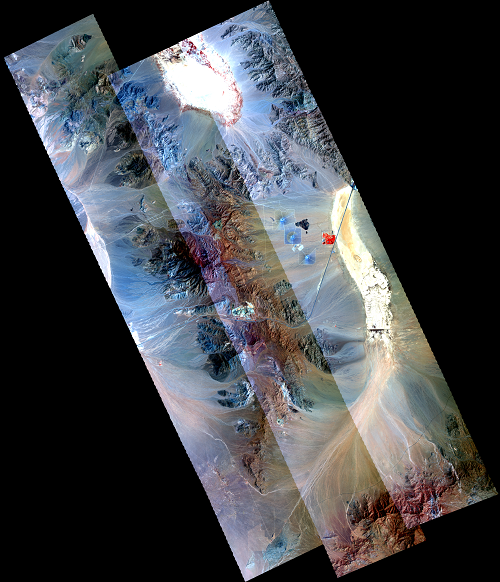
The BLM/USGS Mojave Desert soils and sediments project is investigating the mineralogy of the Clark Mountain Range, California, for associations of minerals with human health concerns and economic importance. Soils, rock lithology, and dry lake surfaces are well exposed for mapping using image spectrometer data. These lands have a wide variety of surface materials that are identifiable using spectral features unique to each mineral. Mineral suites are directly relatable to mineral resources, such as rare earth deposits, hydrothermal systems, and evaporate (gypsum) dry lake deposits. Human heath connections to soil type will be challenging, but naturally occurring fibrous or toxic minerals may be present in this area, including asbestos-form minerals and zeolites such as erionite.
Airborne Visible / Infrared Imaging Spectrometer (AVIRIS) data acquired in 2014 are being used for current mapping of the surface mineralogy. Mapping algorithms (e.g., USGS Tetracorder and Prism Software) classify materials whose mineral identification will be confirmed with further analysis. Maps of minerals and mineral groups will be assembled that will be interpreted for answers to important questions such as 1) are there minerals related to human health concerns, and if so, what are they and where are they located, 2) what type of mineral resources occur and where are they located within this study area.
Looking north to the Clark Mountains from Mountain Pass, California.

NASA/JPL AVIRIS mosaic Color Infrared Composite Image of the Clark Mountains region.

