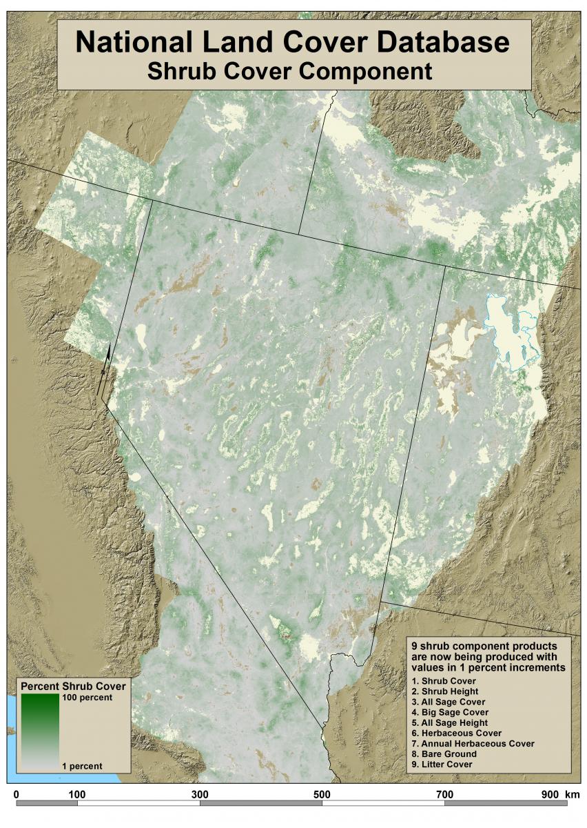
The USGS and the Bureau of Land Management (BLM) are working to develop a suite of shrub and grassland products to study changes in wildlife habitat and landscapes in the western United States. The nine products in the suite—shrub, sage, herbaceous, bare ground, etc.—are based on extensive fieldwork and high-resolution satellite imagery, and then upscaled to show percent cover of each component for 30-m Landsat pixels.
This suite of products will serve as a basis for the USGS and BLM to study habitats of western species, such as sage-grouse, and to study changes in the western landscape. The products will also be incorporated into the production of the National Land Cover Database (NLCD) 2016, enhancing the accuracy of the Shrub, Grassland, and Barren classes.
For more information on the NLCD and to download NLCD data, including shrub and grassland products, visit http://www.mrlc.gov/.

Shrub cover is one of nine components in a suite of products under development by the USGS and BLM. Component proportions are field measured and then extrapolated to satellite imagery pixels. Development of each component product includes independent validation, cross validation, and a spatial absolute error model prediction.

