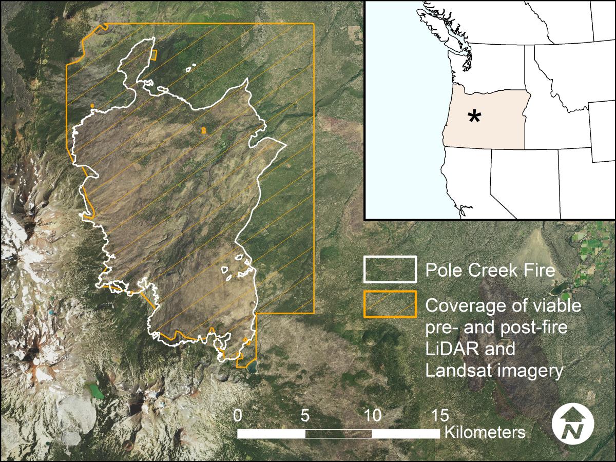
This project addresses several wildfire research questions using a unique remote sensing opportunity to analyze prefire and postfire lidar data. The Pole Creek Fire burned 27,000 acres through various forest types in October 2012 in Deschutes National Forest near Sisters, Oregon. Lidar data were collected prior to the wildfire, offering a unique opportunity to investigate fire disturbance impacts and processes with high-resolution data.
Current research efforts include a comparison of lidar and Landsat-derived burn severity, estimation of biomass loss and carbon accounting using lidar and Moderate Resolution Imaging Spectroradiometer (MODIS) fire radiative energy, and fuel treatment and mountain pine beetle infestation effects on ensuing fire severity using multitemporal lidar data. This research is quantifying how prefire forest condition affects burn severity, and how various remote sensing techniques can be used to explain fire patterns and improve modeling of wildland fire and forest ecology.
http://geography.wr.usgs.gov/science/fire/

Location of Pole Creek Fire in central Oregon and the overlap of viable lidar and Landsat imagery (from McCarley et al.).

