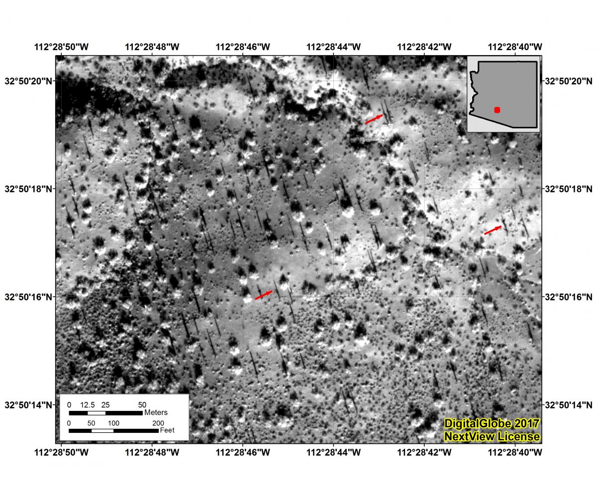
The BLM is employing high-resolution commercial satellite imagery as a pilot effort to map saguaro locations within Sonoran Desert National Monument, Arizona. Saguaro are a distinctive cactus species found only within the Sonoran Desert. Saguaro are an important part of the Sonoran’s arid ecosystem. This cactus is also an iconic part of the American Southwest’s landscape. Saguaro detection is implemented via shadow mapping, using satellite imagery collected at very low sun angles during winter. Initial proof of concept involved the identification of saguaro shadows using visual analytical interpretation. Follow-on efforts will employ software-based object-oriented classification methodologies to efficiently map the spatial location of saguaro over larger geographic areas within the monument.

A WorldView-3 panchromatic image collected over the Sonoran Desert National Monument in winter 2017. The image is approximately 32-cm spatial resolution. Red arrows indicate some of the likely saguaro within the area.

