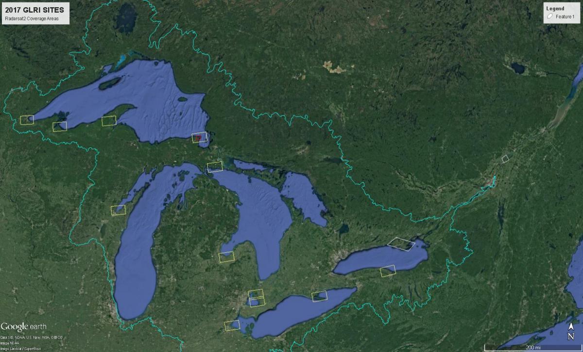
Environment and Climate Change Canada, Natural Resources Canada, and the FWS are collaborating to develop a multi-sensor, multi-frequency remote sensing approach to mapping and monitoring wetlands for the Great Lakes coastline and basin. One of the main purposes of this project is to prepare for the upcoming launch of the RADARSAT Constellation Mission (RCM) by determining how simulated compact polarimetry can be used to map and monitor ephemeral coastal wetlands with multitemporal submeter optical satellite imagery. This multi-sensor, multi-frequency approach can be used to develop seasonal wetland indicators derived from remote sensing data that can relate changes in wetland abundance, health, and diversity including avian and amphibian species. For 2016, four Canadian and U.S. study sites were selected. Radar satellite imagery was acquired every 24 days (May–Oct) with submeter optical satellite imagery as cloud cover and demands permitted. On some days, imagery from both sensors was taken on the same day. For 2017, another 10 sites will be monitored with similar monthly imagery. The data will be used to initially create a temporal wetland classification to map and monitor surface water extent, flooded and emergent vegetation, and water levels using the RADARSAT-2 data with verification from the submeter optical imagery. Later products will include maps with wetland classifications for each of the study sites, changes in surface water, water level and flooded vegetation, vegetation canopy models using stereo imagery, and wetland habitat indicators derived from remote sensing imagery that will help assess wildlife and wetland health.

2017 joint U.S. and Canada coastal wetland mapping sites using RADARSAT-2 and WorldView submeter optical satellite imagery courtesy of MacDonald, Dettwiler and Associates (MDA) and the US National Geospatial-Intelligence Agency (NGA) NextView program.

