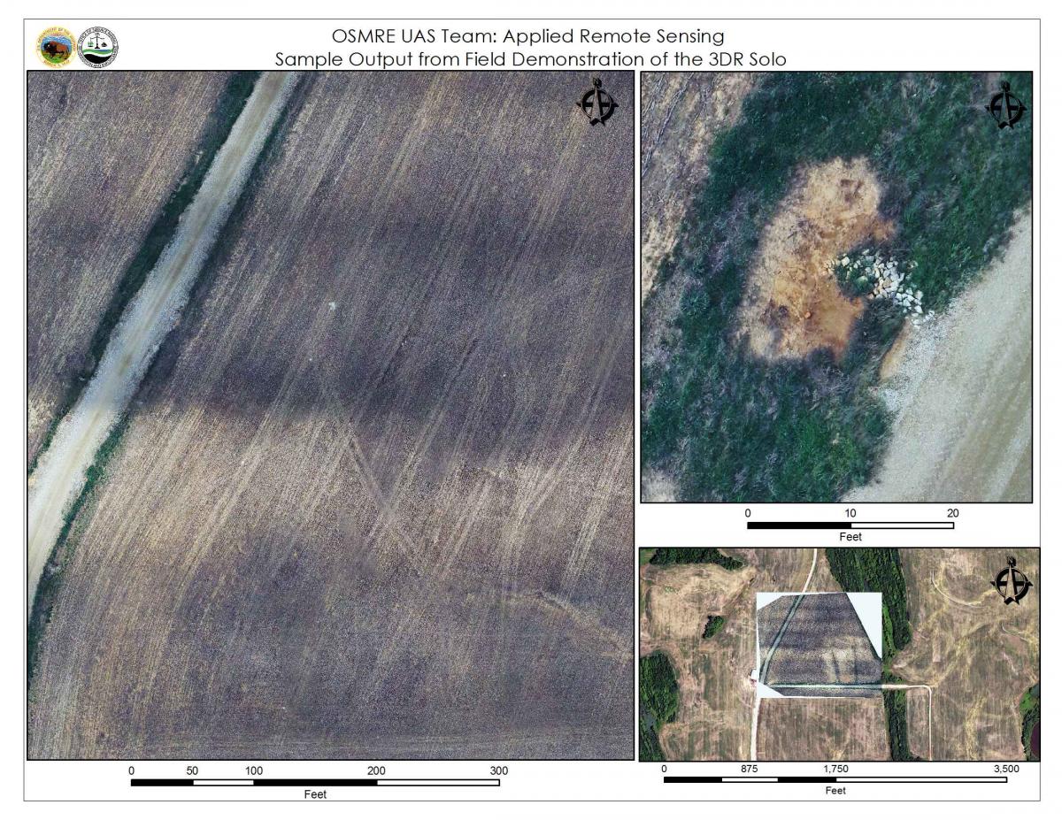
OSMRE has been piloting the use of drone vehicles since 2011 to document and monitor reclamation activities. Applied remote sensing is a priority for the OSMRE Appalachian Region and the use of drones adds value to time spent in the field by aiding in inspections, technical assistance, and increasing the use of remote sensing. The OSMRE Appalachian Region Technical Support Division conducted a demonstration flight of the Unmanned Aerial Systems (UAS) equipment to staff in the Mid-Continent Regional Office and members of the Indiana Prime Farmland Team. The location of the demonstration was near Monroe City, Indiana, on a piece of land that had been mined for coal and is in the final stages of reclamation. The purpose of the demonstration was to display the ease and capabilities of the drone system for use in many Surface Mining Control and Reclamation Act (SMCRA) applications, such as monitoring vegetation, calculating cut-fill volumes, cataloging mining features, and reducing the need to acquire costly new satellite imagery collections.
As the application of the 3DR Solo drone systems becomes more efficient, OSMRE and its constituents (States and Tribes) will benefit greatly. States and Tribes will be able to request assistance from OSMRE for special projects that need UAS imagery. UAS imagery can be captured in a timelier manner than traditional imagery collection methods. Since the Office of Aviation Services (OAS) and the Bureau of Land Management (BLM) use this system, collaboration with other Government agencies will lead to improved workflows and products.
Project credits: OSMRE UAS Team: uas-team@osmre.gov

Sample of output from UAS system at three different scales. The left panel shows a detailed view of a farm field, including tire tracks. The upper right panel is a close-up of riprap drainage features. The bottom-right is an overlay of one drone composite image on a National Agriculture Imagery Program (NAIP) image, showing the precise ortho-rectification that the workflow can achieve.

