
The USGS is working with the National Aeronautical and Space Administration (NASA) to formulate the future Landsat 10 mission, scheduled to launch in the mid-2020s timeframe as part of the Sustainable Land Imaging (SLI) program (https://sustainablelandimaging.gsfc.nasa.gov/). The USGS has collected land imaging user needs from a range of applications across the Federal civil community and other stakeholders to help formulate SLI future Landsat mission architecture options. Current U.S. Federal civil community users have provided hundreds of needs through systematic, in-depth interviews. Academic, State, local, industry, and international Landsat user community input was also incorporated in the process. Emphasis was placed on spatial resolution, observation frequency, and spectral characteristics, as well as other aspects such as accuracy, continuity, sampling condition, data access, and format.
Users across Federal and non-Federal communities require continuity of the current Landsat spectral bands, including thermal capabilities, and higher-level derived products, which are free and openly accessible. Future Landsat improvement needs include increased temporal, spatial, and spectral resolution for agriculture, ecosystems, disasters, cryosphere, geosciences, and aquatic applications.
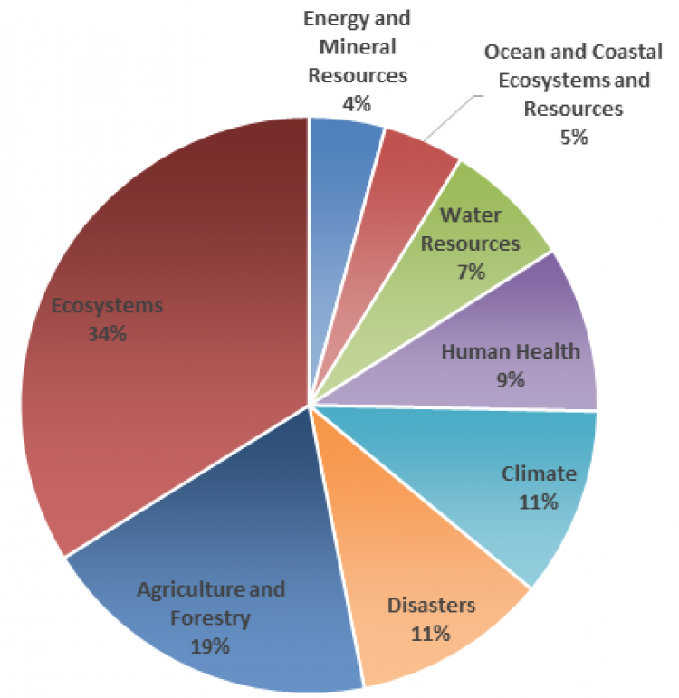
USGS adopts the Office of Science and Technology Policy (OSTP) framework of societal benefit areas (SBAs) used in the 2016 National Earth Observation Assessment (EOA 2016). User needs by SBA shown here approximate the current usage distribution of Landsat data.