
An effort for long-term monitoring using Interferometric Synthetic Aperture Radar (InSAR) to recognize, map, and monitor landslide-related deformation over the southern portion of the Green Mountain reservoir was undertaken. Slow slope failures or landslide-related deformation can cause property damage and pose continuing serious impacts on the reservoir and dams that can possibly be triggered by the presence of steep slopes, jointed or weak formation, the presence of abundant water, freezing and thawing temperatures, and/or by sudden ground shaking from earthquakes. Advanced Land Observing Satellite (ALOS) data for this study were collected and processed using GMTSAR, an open-source InSAR processing system designed for users familiar with Generic Mapping Tools (GMT). GMTSAR produced interferograms for several months with good coherence that indicate apparent ground movement of about 2 centimeters over several months. Moreover, the areas with deformation correlated with the location of recognized landslides in the area. The team intends to process more ALOS as well as Sentinel satellite data in the coming months.
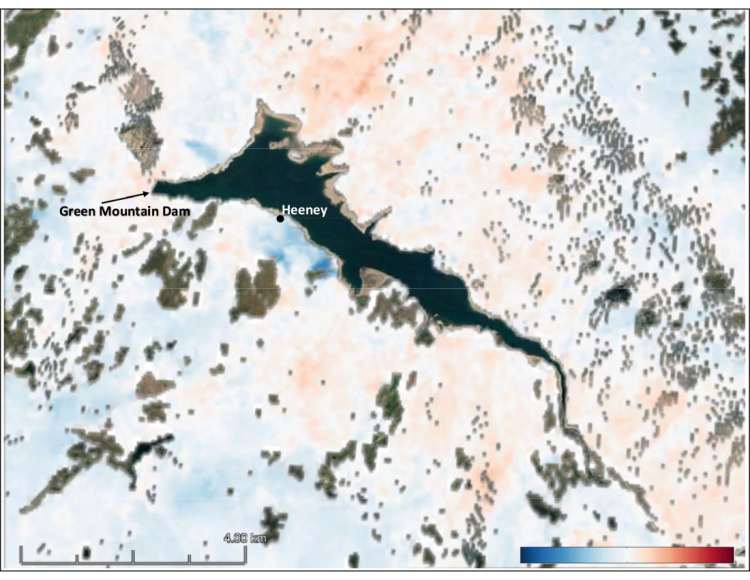
Plots are line of sight (LOS) displacements in Green Mountain Dam area in centimeters between the master and slave images where blue (–5 cm) and red (+5 cm) are displacements of the ground relative to the satellite. Shown in the figure is the Green Mountain dam and the town of Heeney.