
Imagery collected using unmanned aircraft systems (UAS) are being used to document baseline vegetation conditions and to monitor progress of bottomland forest restoration at the Little Saint Francis River Chat Pile (LSFR) site. Structure-from-motion (SfM) photogrammetry will be used to monitor survival and growth of planted woody stems in the bottomland forest restoration, and to monitor the effectiveness of invasive species eradication efforts throughout the site. Measurements captured by UAS imagery and derived elevation products will include overall and species-level survival rate, growth between UAS sample images, and variation in plant species condition between UAS sampling events. The efficiency and effectiveness of data derived from UAS imagery will be compared to that of field-collected data to identify appropriate applications of UAS technology.
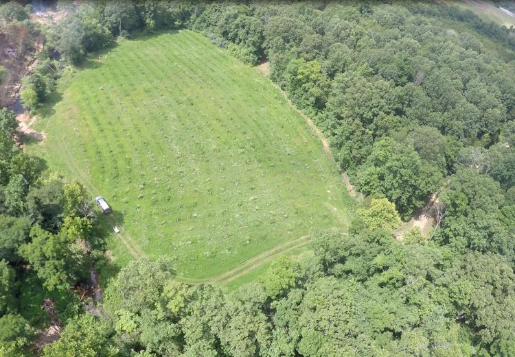
Imagery from UAS will be used to assess and monitor progress of a small bottomland forest restoration and invasive plant species eradication efforts at a former mining site along the Little Saint Francis River in southeastern Missouri.