
The National Operations Center (NOC) and the BLM Gunnison Field Office are using remotely sensed data and field data to monitor the impact of meadow restoration activities within the Gunnison Basin, Colorado, through a collaborative, multi-stakeholder effort with the BLM, the Nature Conservancy (TNC), the Colorado Natural Heritage Program (CNHP), and the Upper Gunnison River Water Conservancy District (UGRWCD). Project objectives include increased ecosystem resilience through the restoration of hydrologic function of wet meadow and riparian habitats within the landscape; building a sustainable, scientifically rigorous program to increase restoration effectiveness across the Gunnison River basin through long-term monitoring; and assessing and implementing cost-effective tools and methodologies to scale the project to larger geographic areas. The NOC has provided imaging products and technical assistance to support these activities. Processed imagery and spectral indices derived from the European Space Agency’s (ESA’s) Sentinel-2 and National Aeronautical and Space Administration’s (NASA’s) WorldView satellite systems, as well as historical aerial photography, are being employed for this effort. Multi-scale, multi-temporal remotely sensed information can be useful in characterizing wetland vegetation and species trends prior to and following restoration.
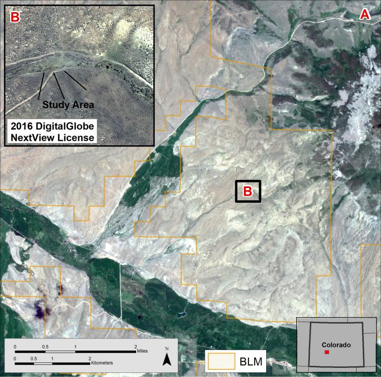
Examples of imagery sources used in support of BLM Gunnison Field Office meadow restoration efforts, in this case, for the Monson Gulch, Colorado, study area. (A) European Space Agency’s Sentinel-2 image collected in June 2016. (B) WorldView-2 image, pan-sharpened, also collected in June 2016. WorldView-2 data courtesy of DigitalGlobe, NextView License. Each of these images is displayed as natural color (RGB) composites.