
To support the modeling of the Colorado River water storage area capacity tables by the USGS Utah Water Science Center, the USGS Earth Resources Observation and Science (EROS) Center created a three-dimensional (3D) high-resolution topobathymetric digital elevation model (TBDEM) for Lake Powell, the second largest man-made reservoir in the United States. Located in south-central Utah and north-central Arizona, Lake Powell was created by the flooding of a natural canyon during the construction of Glen Canyon Dam. The new TBDEM consists of the best available topographic and bathymetric elevation data for onshore and offshore areas. It integrates three different data sources acquired between 1947 and 2018: topographic light detection and ranging (lidar) point cloud data, multibeam bathymetric surveys, and historical topographic surveys. This multi-source 3D data product is valuable for assessing the impacts of drought or climate change on water storage capacity, sediment transport, and time-series analysis of land and water change. This effort was in collaboration with the Bureau of Reclamation, USGS Earth Resources Observation and Science, USGS Utah Water Science Center, and USGS Woods Hole Coastal Marine Science Center.
https://doi.org/10.5066/P9XX0J1Y
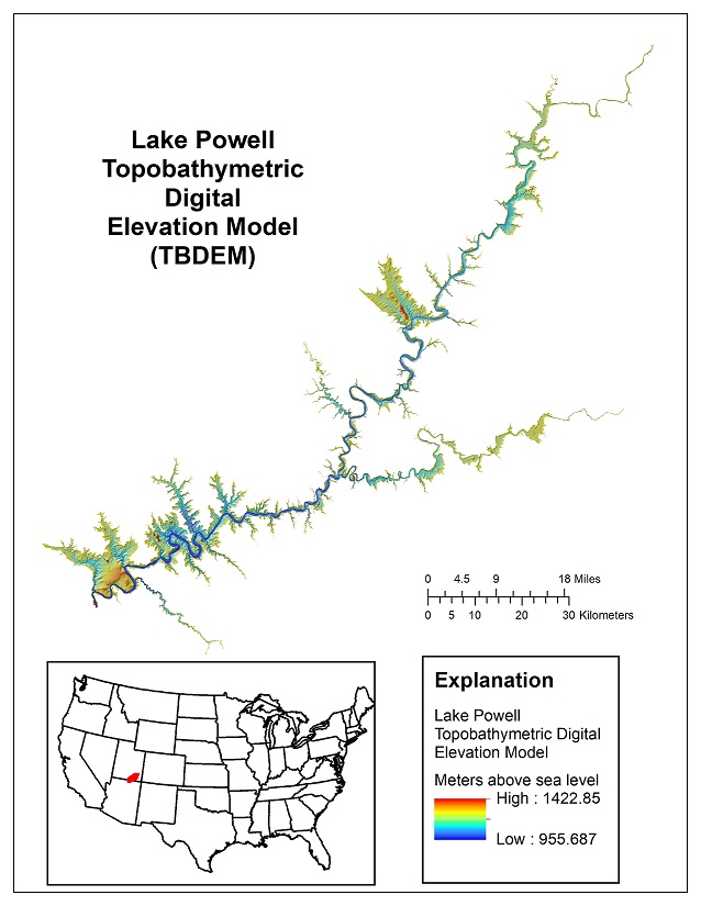
Lake Powell topobathymetric digital elevation model (TBDEM), Arizona-Utah.