
LANDFIRE’s mission is to provide agency leaders and managers with a common “all-lands” dataset (including maps) of vegetation and wildland fire/fuels information for strategic fire and resource management planning and analysis. LANDFIRE uses numerous geospatial data sources to develop its products but relies heavily on Landsat imagery and spectral indices for vegetation and disturbance mapping in addition to light detection and ranging (lidar) for quantifying structural characteristics of the vegetation. Always striving to stay up to date, LANDFIRE completed a major milestone of remapping all base layers and product suites for the conterminous United States (9 billion+ 30-meter pixels) with circa 2016 imagery (“Remap”) in July 2020. Remap work is continuing for Alaska, Hawaii, and insular areas. This rich dataset would not have been possible without remote sensing technology associated with Landsat Thematic Mapper, Enhanced Thematic Mapper Plus, and Operational Land Imager data.
Among the many improvements and innovations as part of the LANDFIRE Remap effort for the wildland fire community is a new approach called “Year Capable Fuels” involving Time Since Disturbance for surface and canopy fuels. This approach was developed to overcome product latency issues inherent in all mapping efforts, accounting for how much time has elapsed since a disturbance occurred (Time Since Disturbance) to better represent more current (Effective Year) fuel conditions. How is this an improvement? In previous LANDFIRE versions, users had to adjust the fuel products to represent the contemporary condition in areas that had experienced disturbance. In Remap, LANDFIRE does this adjustment for the users, reducing their burden and improving performance of fire behavior models.
Capable Fuels would not be possible without first correctly identifying the extent and severity of disturbed areas. This mapping effort is accomplished through a number of datasets (such as user-contributed polygons where disturbances have occurred) and by using change detection algorithms to identify areas that change spectrally between pre- and post-year remotely sensed imagery; analysts then classify them to LANDFIRE severity categories. Subsequently, disturbed areas are made to represent an Effective Year using the Time Since Disturbance methodology. For Remap, this means that capable fuels represent the Effective Years of 2019 and 2020 since delivery of Remap products was in calendar year 2019/2020.
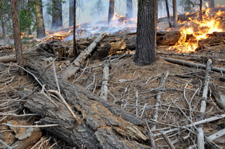
Capable fuels support users with a better accounting of fuel attribute changes in disturbed areas to the effective year. Photo by T USGS