
Public lands across the West contain myriad Native American cultural sites that often include surficial stone features such as rings, alignments, and cairns. In 2018, BLM archaeologists from Wyoming’s Pinedale Field Office worked with Wyoming State Office staff to use a 3DR Solo Uncrewed Aircraft System (UAS) to capture 2,400 1-centimeter ground sample distance (GSD) stereo digital images with a Ricoh GRII digital camera over a ~75-acre block surrounding a cultural site that is known to contain stone features. Most of the features range from 1.6 to 4.9 meters, with the longest measuring 14 meters.
BLM processed the stereo images using Agisoft Photoscan Pro 1.3.4 to create a detailed Digital Surface Model and orthomosaic of the site, from which stone features could be observed and mapped at a scale of 1:50 within ESRI ArcGIS 10.4. In 2020, the Pinedale Field Office hired a contractor to conduct a ground-based Class III inventory of 32 acres of the UAS-imaged area using traditional pedestrian survey techniques.
Of the 12 cultural features identified in the Class III pedestrian inventory, 7 (58%) were correctly identified in the UAS orthoimagery. The specialist conducting the UAS image analysis noted that in some of the detections, only a general pattern of stones was discernable instead of individual features, whereas the ground-based Class III inventory documented the number, size, and position of each stone in each feature.
Based on this comparison, the 1-centimeter resolution of the UAS imagery was insufficient for reliable identification of all surficial stone features within the cultural site. For similar sites where the goal is detection of surficial stone features 1.5 to 5 meters in size, sub-centimeter GSD imagery is recommended, perhaps on the order of 0.5-centimeter GSD.
Because UAS imagery can be collected over large areas at relatively low cost, this method can be used to screen extensive areas for stone features and identify where to focus further investigations on the ground. At this time, it does not appear UAS imagery is as effective as Class III inventory for identifying stone alignment features, but it can supplement and guide proactive pedestrian inventory efforts. Further advances in technology could improve the utility of UAS for archaeological site identification and documentation.
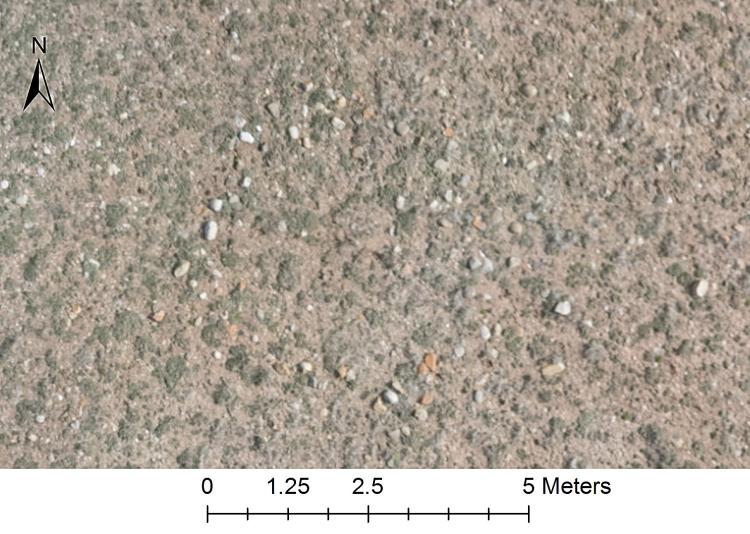
A stone circle detected through examination of the 1-centimeter resolution GSD UAS orthoimagery