
The intensification of drought across the Colorado River Basin is causing riparian ecosystem stress and transformations in plant stand structure, species composition, and plant water use, resulting in increasing resource management challenges. Over the past two decades, riparian plant canopy and its greenness or vegetation health have declined drastically on reaches of the Lower Colorado River and its tributaries, suggesting further deterioration of biodiversity, wildlife habitat, and key ecosystem services. Researchers from the USGS and the University of Arizona have built an interactive, searchable Lower Colorado River Basin Data Explorer to allow users to monitor riparian woodlands health and water use over selected times and locations.
The Riparian Data Explorer provides interactive access for the metrics of greenness, phenology, and water use in the riparian zones using time-series information. It also provides plotting tools for remotely sensed measurements of vegetation index (VI), phenology dynamics, daily average peak seasonal evapotranspiration (ET, mm/day), and an annualized ET (mm/yr). These data are currently provided at two spatial resolutions: 250-meter Moderate Resolution Imaging Spectroradiometer (MODIS) and 30-meter Landsat Enhanced Vegetation Index (EVI and EVI2), as well as the Normalized Difference Vegetation Index (NDVI) for comparison with older studies that use NDVI instead of EVI/EVI2. Remote sensing data fusion from different sources of satellite imagery used in the Riparian Data Explorer tool may be used to track changes due to saltcedar (Tamarix spp.) defoliation events caused by the tamarisk leaf beetle (Diorhabda spp.).
End users may currently identify and search data from 2000–2020 for their areas of interest for the streamside riparian vegetation of larger rivers in Arizona. The searchable online system is being expanded to include additional rivers, their uplands, and even the non-riverine borderlands ecosystems, to evaluate dynamic trends in the landscape vegetation and its phenology changes. Lidar datasets from the USGS 3D Elevation Program are being incorporated to improve the remotely sensed data fusion process used for identification of native and nonnative riparian plant communities.
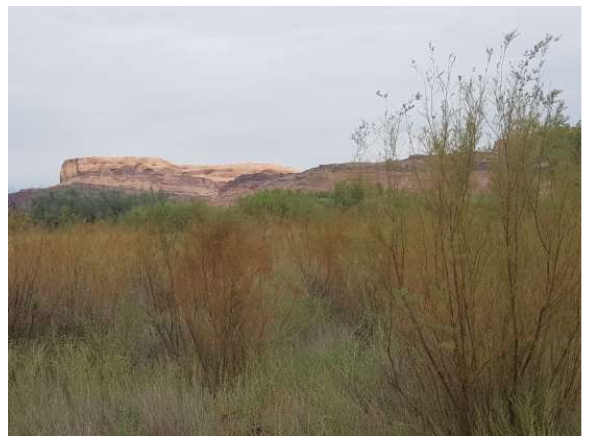
Tamarix spp. (tamarisk or saltcedar), a shrub-like tree, was intentionally introduced to the United States from Asia in the mid-1800s and thrives in today’s human-altered streamside habitats. This invasive riparian species can be found along wetlands, rivers, lakes, and streams across the western U.S. In 2001, a biological control agent, Diorhabda spp. (tamarisk leaf beetle), was released. The beetle causes widespread defoliation of tamarisk, thus altering tamarisk’s water use and effectiveness as erosion control, as well as the dynamics of native and nonnative plant and wildlife species. Photo: Pamela Nagler, 2019.