

The highest and lowest points in the continental United States are located within 100 miles of each other in California: Mount Whitney (14,494 feet) and Death Valley (282 feet below sea level).
Downloads
You May Also Like

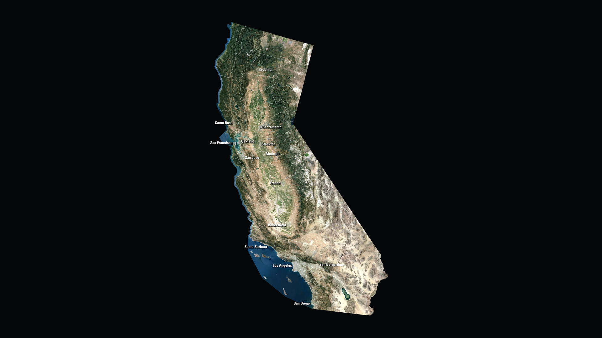
CA Satellite Puzzle
First put together your state, and then try another. Notice the types of land features captured by Landsat as you fit the pieces together.
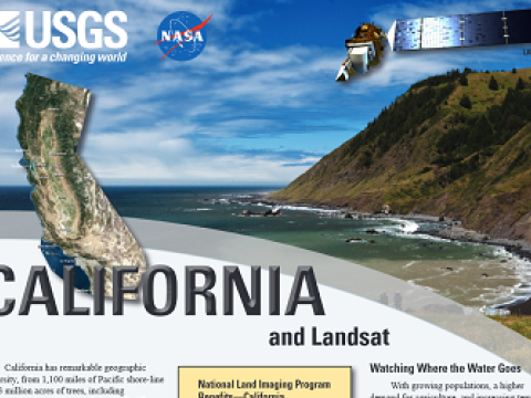
California and Landsat
Landsat data are used every day to help us better understand our dynamic planet. Read about how Landsat benefits California in this USGS Fact Sheet.
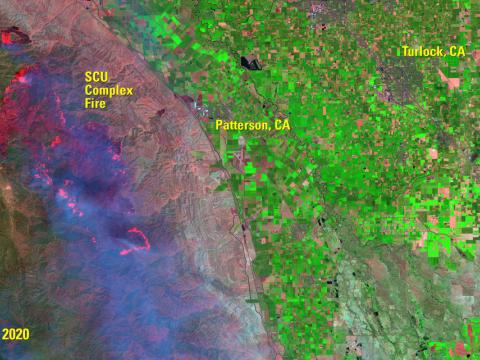
Fire Footprints Stretch across California
The accumulated wildfires engulfing miles of California countryside in the late summer of 2020 are historic in their collective size: more than 500 fires burning across hundreds of thousands of acres.