

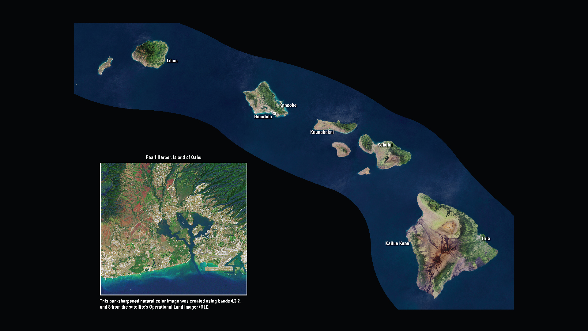
The state of Hawaii consists of eight main islands: Niihau, Kauai, Oahu, Molokai, Lanai, Kahoolawe, Maui, and Hawaii. From east to west, Hawaii is the widest state in the country.
Downloads
You May Also Like
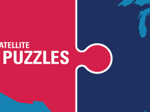
HI Satellite Puzzle
First put together your state, and then try another. Notice the types of land features captured by Landsat as you fit the pieces together.
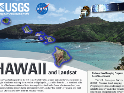
Hawaii and Landsat
Landsat data are used every day to help us better understand our dynamic planet. Read about how Landsat benefits Hawaii in this USGS Fact Sheet.
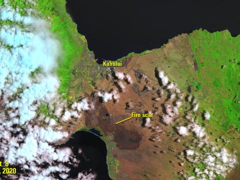
LANDFIRE Remap for Hawaii Promises New Detail, Insight on Unique Island Landscapes
The fires of Hawaii don’t follow the rules of their continental counterparts. There are fire risk factors at play in the island chain that states like California or Arizona simply don’t deal with.