

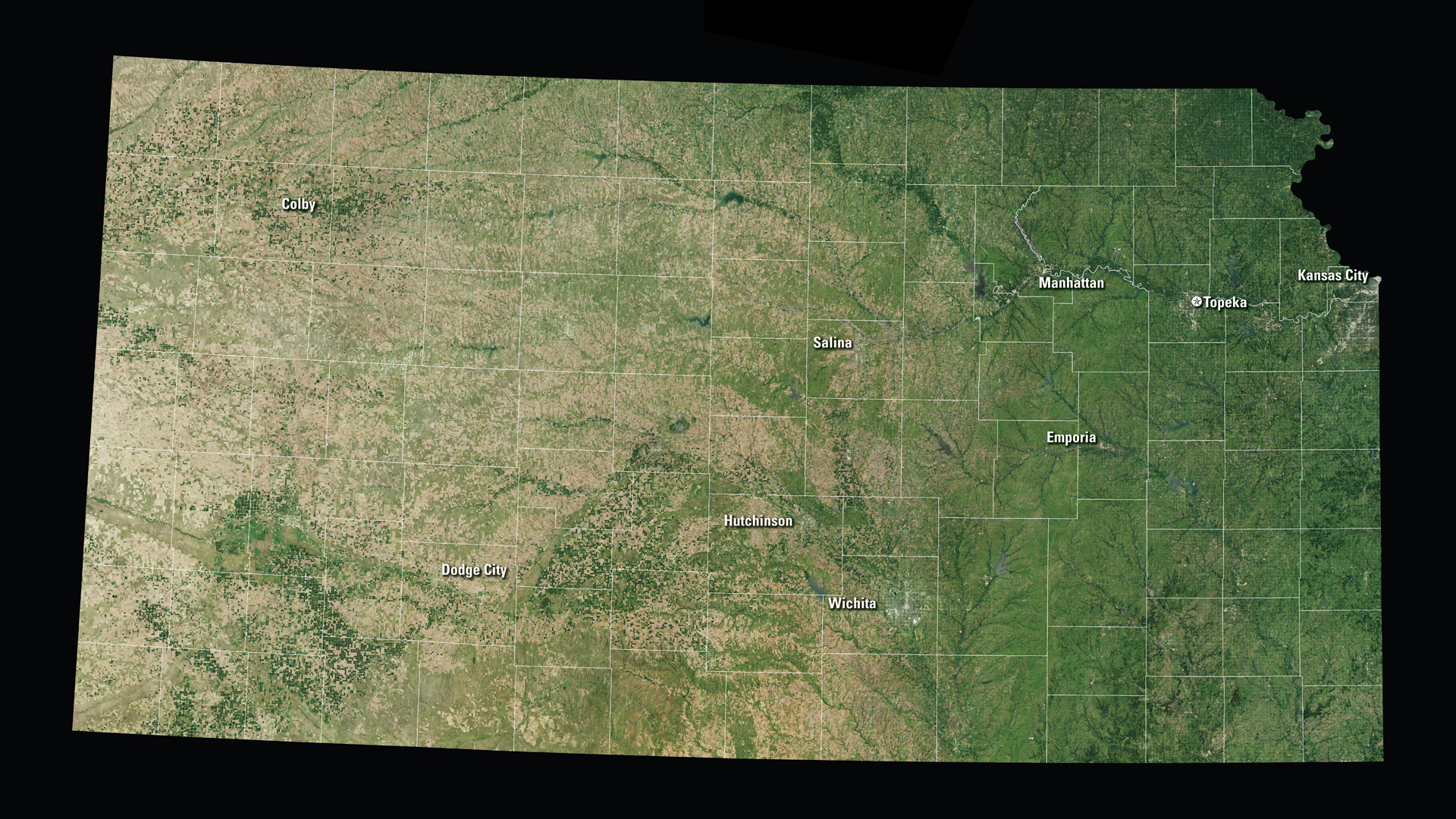
Located just southeast of Osborne, Kansas, is the Geodetic Center of North America. The Geodetic Center is the initial point upon which all North American surveys, deeds, and maps are based.
Downloads
You May Also Like
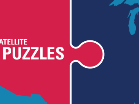
KS Satellite Puzzle
First put together your state, and then try another. Notice the types of land features captured by Landsat as you fit the pieces together.
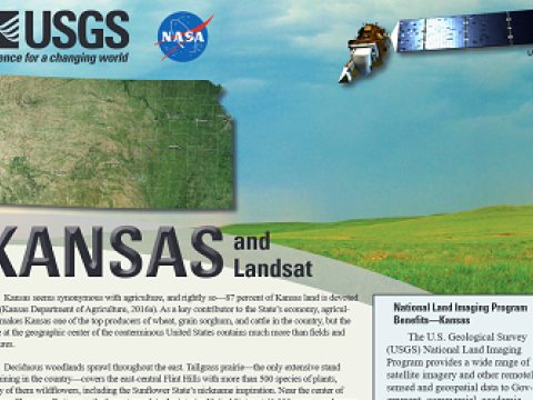
Kansas and Landsat
Landsat data are used every day to help us better understand our dynamic planet. Read about how Landsat benefits Kansas in this USGS Fact Sheet.