

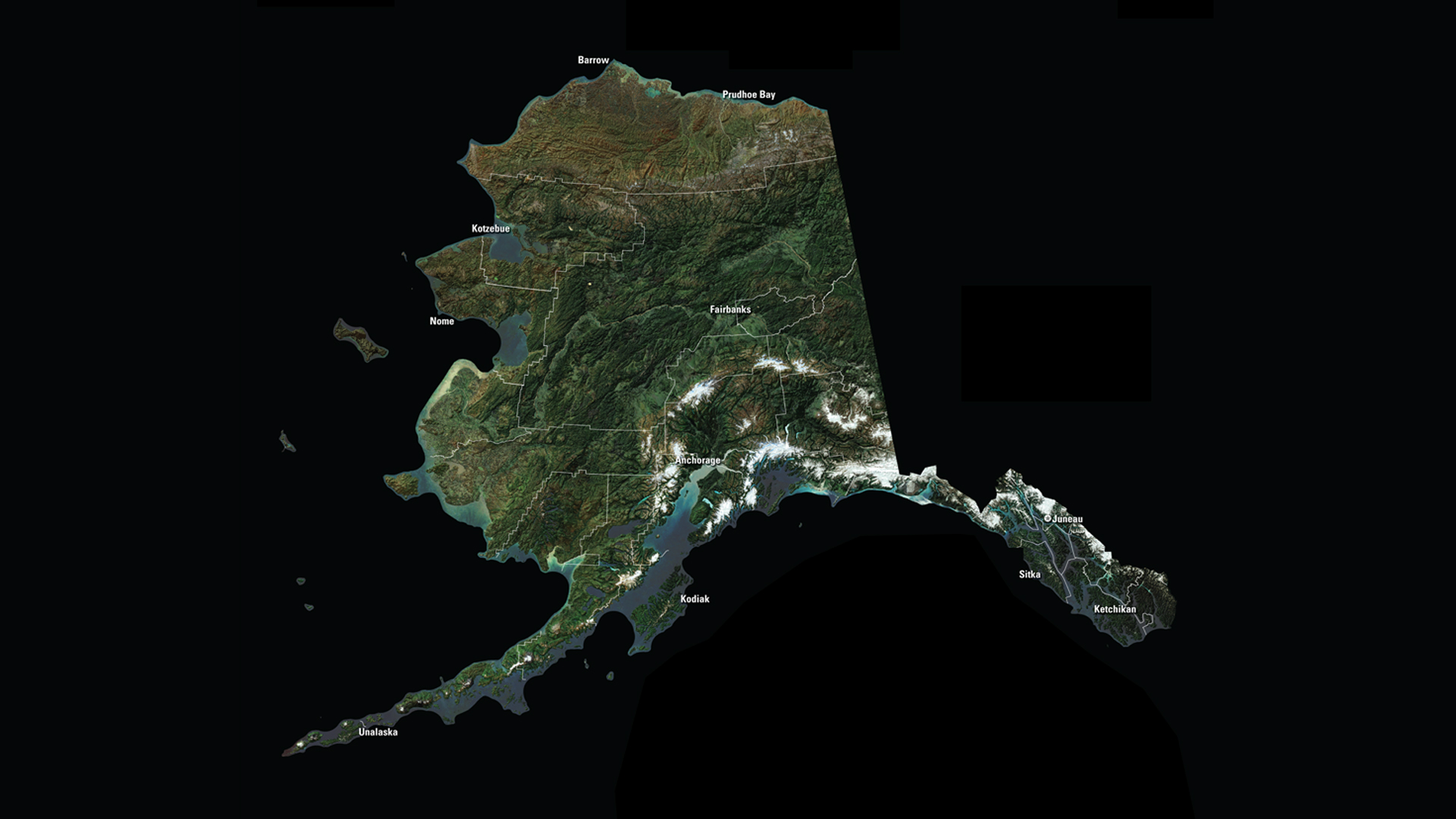
Alaska has 17 of the 20 highest peaks in the United States. Denali is the highest peak in North America at 20,320 feet above sea level. Denali, the native name for the mountain, means “The Great One.”
Downloads
You May Also Like

AK Satellite Puzzle
First put together your state, and then try another. Notice the types of land features captured by Landsat as you fit the pieces together.
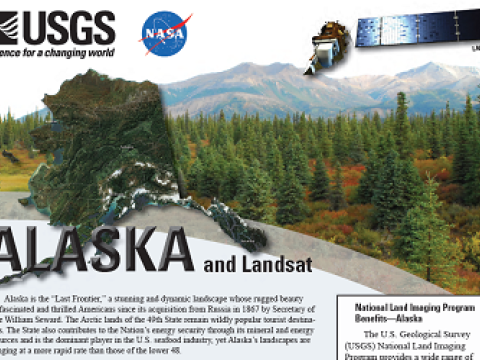
Alaska and Landsat
Landsat data are used every day to help us better understand our dynamic planet. Read about how Landsat benefits Alaska in this USGS Fact Sheet.
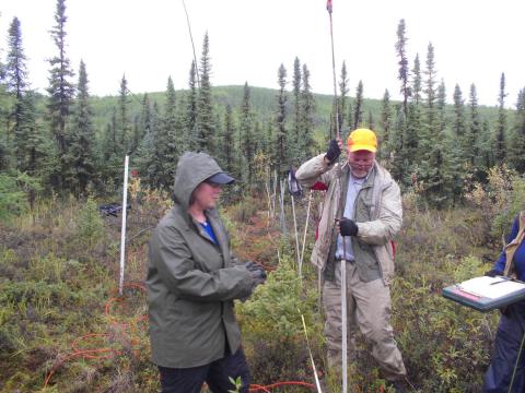
Mapping Near-Surface Permafrost
Imagine if the infrastructure under your house disappeared. If the concrete forms or block basement walls disintegrated over time, and your house collapsed. That's an apt analogy to what's happening with the degradation of permafrost in Alaska today.