

Bathtub Ring
Earth Resources Observation and Science (EROS) Center - Earthshots
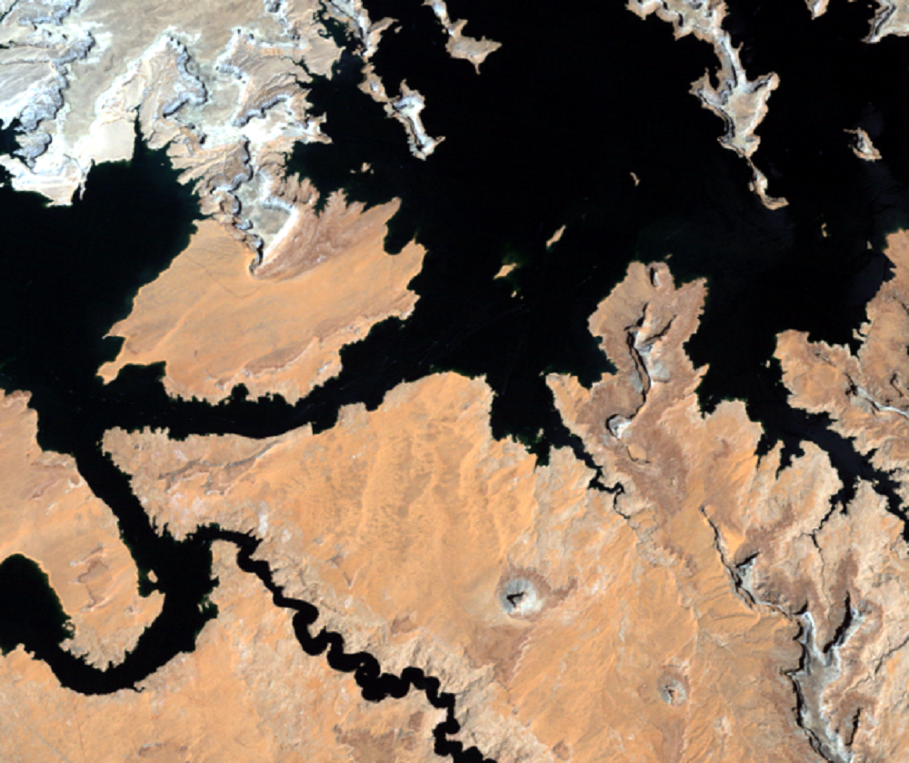
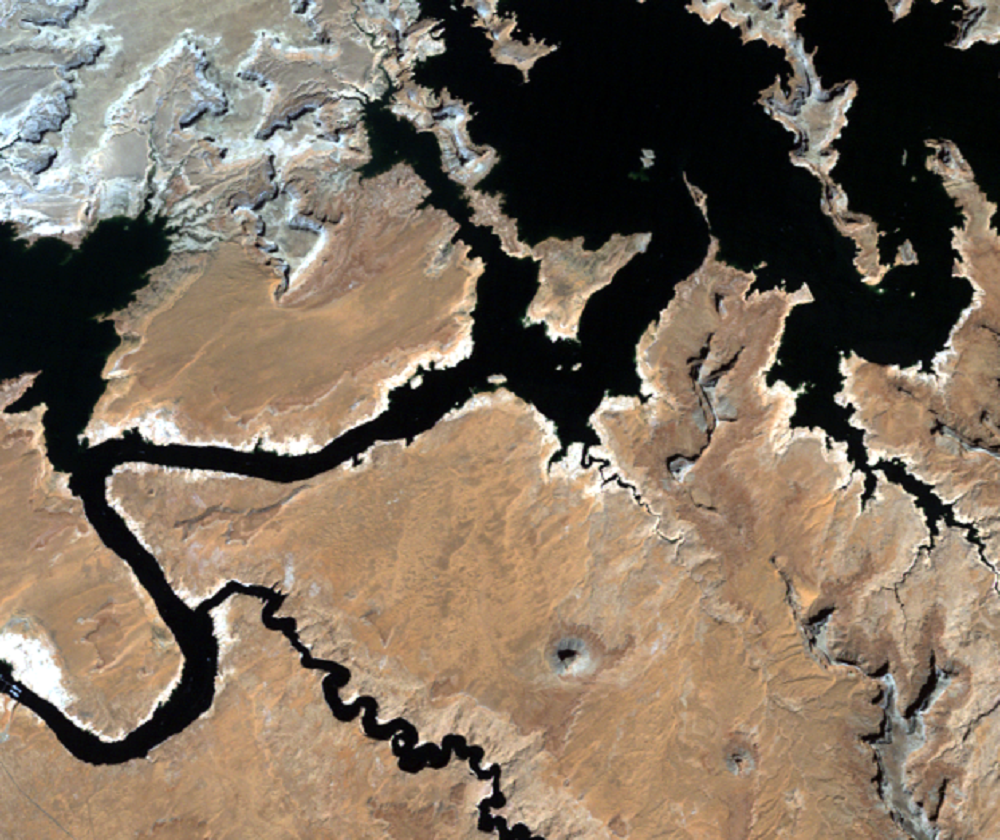
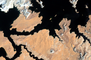
Comparing the 1984 (high water level) and 2005 (low water level) images, there is a pale outline along many parts of the lake. When the water level drops, canyon walls that were once inundated are exposed again.
Referred to as the “bathtub ring,” this pale outline shows when the lake is below capacity. Calcium carbonate and other mineral compounds, many of them various salts in the water, attach themselves to the sandstone and leave behind this white mark. The top of the white mark is the high water mark. The only time the bathtub ring is not visible is when the lake is completely full.
Imagery
Every picture has a story to tell
Correlated
Additional story information
Downloads
Other Stories
Related imagery and additional content
Bathtub Ring
Comparing the 1984 (high water level) and 2005 (low water level) image...
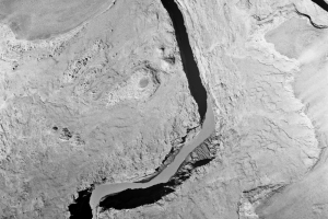
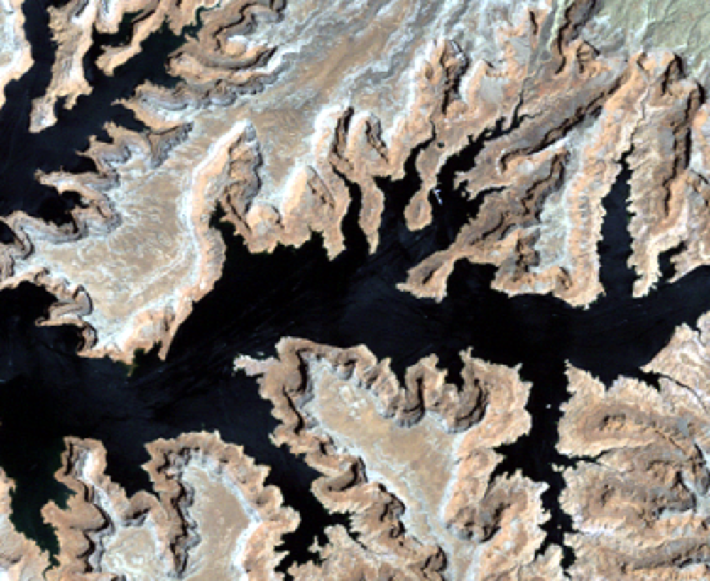
Glen Canyon Dam
Glen Canyon Dam near Page, Arizona, creates Lake Powell. The 710-...
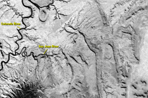
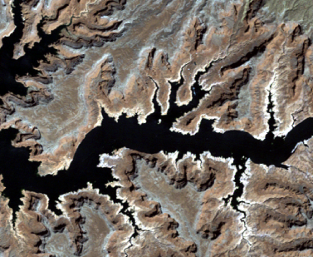
San Juan River
Farther upstream, the San Juan River flows into the Colorado River. In...
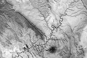
Water Levels
Drought combined with water withdrawals has caused a drop in the lake’...