

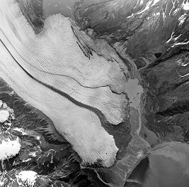
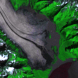
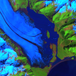
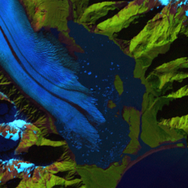
Bear Glacier Lagoon
Earth Resources Observation and Science (EROS) Center - Earthshots
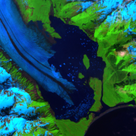
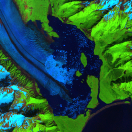
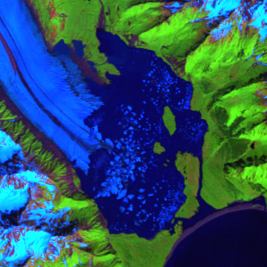
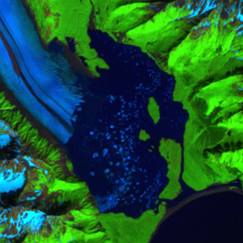
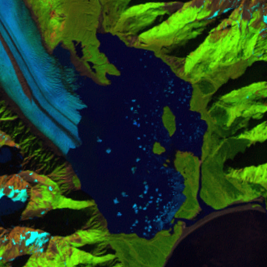
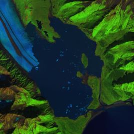
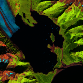
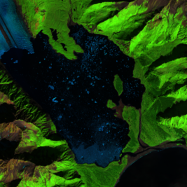
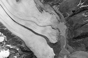
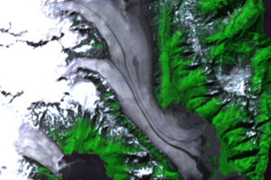
Before 1950, the entire basin was covered by Bear Glacier and ended at a terminal moraine. By 1961, a small lake had formed, referred to as Bear Glacier Lagoon. By 1984, the size of the lagoon had doubled. It has continued to grow quickly as the glacier has retreated over time. People can now go kayaking among the icebergs on Bear Glacier Lagoon.
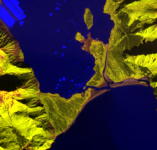
In August 2014, water from Bear Glacier Lagoon breached the moraine that separates the lagoon from Resurrection Bay. Lake levels dropped by 1–2 feet (0.3–0.6 meters). These glacier lake outburst floods occur regularly. The breach is visible in the extreme close-up in the 2014 Landsat image, in which different infrared wavelengths were used to make the breach more visible.
Imagery
Every picture has a story to tell
Correlated
Additional story information
Downloads
Other Stories
Related imagery and additional content
Bear Glacier Lagoon
Before 1950, the entire basin was covered by Bear Glacier and ended at...

Glacial Retreat
A stable glacier advances a little in the winter and retreats the same...

Glacier Repeat Photography
USGS uses repeat photography of glaciers to quantify changes in glacie...
Racing Stripes
Glaciers move slowly, but Bear Glacier seems to have racing stripes. G...