

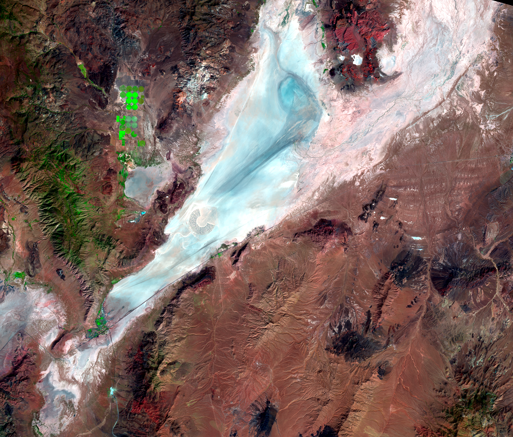
Black Rock Playa, Nevada, USA
Earth Resources Observation and Science (EROS) Center - Earthshots
In a desolate corner of Nevada, a playa surrounded by rugged mountains and described as dry, dusty, desolate, and devoid of vegetation comes to life the week before Labor Day every year for a unique arts festival.
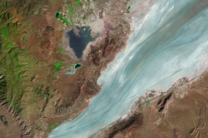
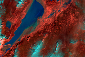
Black Rock Playa in northwestern Nevada is part of the lakebed of ancient Lake Lahontan, a deep lake that existed as recently as 15,000 years ago. Lake Lahontan left fine sediments on the lake bottom to form the extremely flat surface. According to a detailed topographic study, the elevation of the playa varies by just 1 meter over 310 square kilometers.
The playa stretches 56 kilometers from the small town of Gerlach toward the northeast and the edge of the Black Rock Range.
Rainfall is rare during summer when daily high temperatures regularly exceed 37°C, making the surface hard-packed and dusty. Snowmelt flows into the playa in the spring to smooth out the surface. The clay minerals on the lakebed expand when wet and then contract as they dry to form a cracked pattern.
Black Rock Playa is managed by the Bureau of Land Management (BLM) as The Black Rock Desert–High Rock Canyon Emigrant Trails National Conservation Area.
Imagery
Every picture has a story to tell

Correlated
Additional story information
Downloads
Adams, K.D. and Sada, D.W., 2014, Surface water hydrology and geomorphic characterization of a playa lake system—Implications for monitoring the effects of climate change: Journal of Hydrology, v. 510, p. 92–102, https://doi.org/10.1016/j.jhydrol.2013.12.018.
Bureau of Land Management, [n.d.], Black Rock Desert–High Rock Canyon Emigrant Trails NCA: BLM, accessed Oct. 17, 2018, at https://www.blm.gov/programs/national-conservation-lands/nevada/black-rock-desert-high-rock-canyon-emigrant-trails-nca.
Bureau of Land Management, 2018, BLM Issues Special Recreational Permit for Burning Man: BLM, accessed Oct. 17, 2018, at https://www.blm.gov/press-release/blm-issues-special-recreational-permit-burning-man.
Bureau of Land Management, 2012, Environmental Assessment—Burning Man 2012–2016 Special Recreation Permit: BLM, accessed Oct. 17, 2018, at https://eplanning.blm.gov/epl-front-office/projects/nepa/28954/37412/39212/Burning_Man_DOI-BLM-NV-W030-2012-0007-Final_EA.pdf.
Burning Man Project, 2018, The Event: Burning Man Project, accessed Oct. 17, 2018, at https://burningman.org/event.
Burning Man Project, 2018, Welcome to the Burning Man Timeline: Burning Man Project, accessed Oct. 17, 2018, at https://burningman.org/timeline/.
Friends of Black Rock, [n.d.], About the Black Rock Desert Playa: Friends of Black Rock, accessed Oct. 17, 2018, at http://blackrockdesert.org/about-the-black-rock-desert-playa/.
Kane, J., 2018, Burning Man resolves population issue, re-admitting event-goers after overselling event: USA Today, accessed Oct. 17, 2018, at https://www.usatoday.com/story/life/music/2018/09/01/burning-man-resolves-population-issue-after-overselling-event/1175026002/.
Oliphant, A.J., Stein, S., and Bradford, G., 2018, Micrometeorology of an ephemeral desert city, the Burning Man experiment: Urban Climate, v. 23, p. 53–70, https://doi.org/10.1016/j.uclim.2017.03.001.
The American Southwest, [n.d.], Black Rock Desert: The American Southwest, accessed Oct. 17, 2018, at http://www.americansouthwest.net/nevada/black-rock-desert.
TravelNevada, 2018, Black Rock Desert–High Rock Canyon Emigrant Trails National Conservation Area: TravelNevada, accessed Oct. 17, 2018, at https://travelnevada.com/discover/26418/black-rock-high-emigrant-trails-national.
USGS, 2018, Image of the Week—Burning Man: USGS Earth Resources Observation and Science (EROS) Center, accessed Oct. 17, 2018, at https://eros.usgs.gov/image-of-the-week/burning-man.
Other Stories
Related imagery and additional content
Burning Man
A unique event takes place every year on the playa. Burning Man is a w...
Wet-Dry Cycle
As dry and dusty as the playa is when it comes time for Burning Man in...