

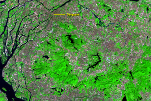
Bridge
Earth Resources Observation and Science (EROS) Center - Earthshots
Cities that are growing this rapidly must also show accompanying infrastructure changes. The additions of bridges, highways, railroads, and airports are intended to merge the cities of the delta into a single megalopolis.
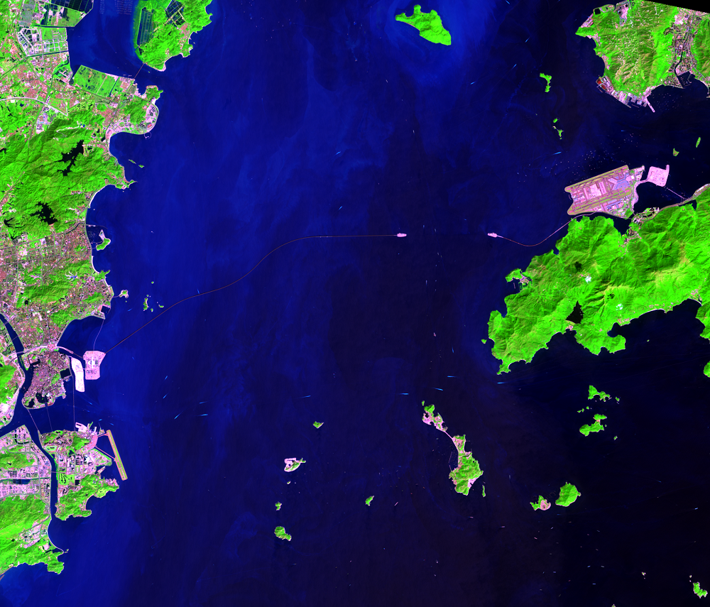
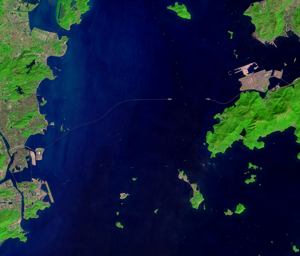
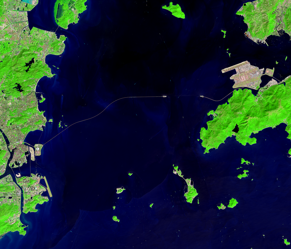
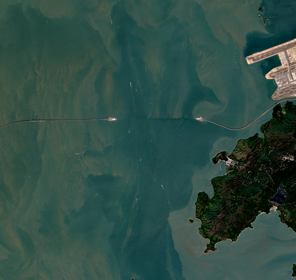
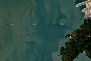
One ambitious project is the Hong Kong-Zhuhai-Macau Bridge, which opened in 2018, to connect the three cities and cut the travel time from Hong Kong to Zhuhai from 3 hours to 30 minutes. Visible as a long, thin line across the bay, the bridge-tunnel system includes 42 kilometers of bridges over water and a 7-kilometer tunnel. The tunnel allows ships to enter and exit the bay and runs between two artificial islands. The entire system is about 15 times longer than the Golden Gate Bridge. The total cost of bridge was $7.56 billion.
Built to withstand an 8.0 earthquake, the bridge makes it easier for goods from the entire PRD to be transported to Hong Kong’s international airport for export. Speaking of the airport, a third runway was added north of the existing runways, 3,800 m long and built on 650 hectares of reclaimed land.
The natural color image from Europe's Copernicus Sentinel-2 satellite shows the bridge at 10-meter resolution. Ships are visible in the water, including the wakes behind the ships.
Imagery
Downloads
Related Content
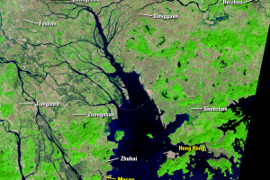
Pearl River Delta, China
In 1978, the Pearl River Delta (PRD) region in southern China had a po...
Bridge
Cities that are growing this rapidly must also show accompanying infra...
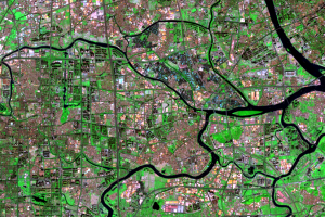
Dongguan
The urban growth in the PRD is vast. There are no longer any clear urb...
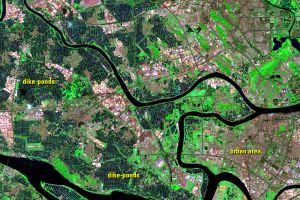
Guangzhou and Foshan
As an example of how the cities of the region have merged after the 19...
Industry
The PRD was mostly rural before the 1978 reforms began. The major indu...