

Can You Tell the Ridges from the Valleys?
Earth Resources Observation and Science (EROS) Center - Earthshots
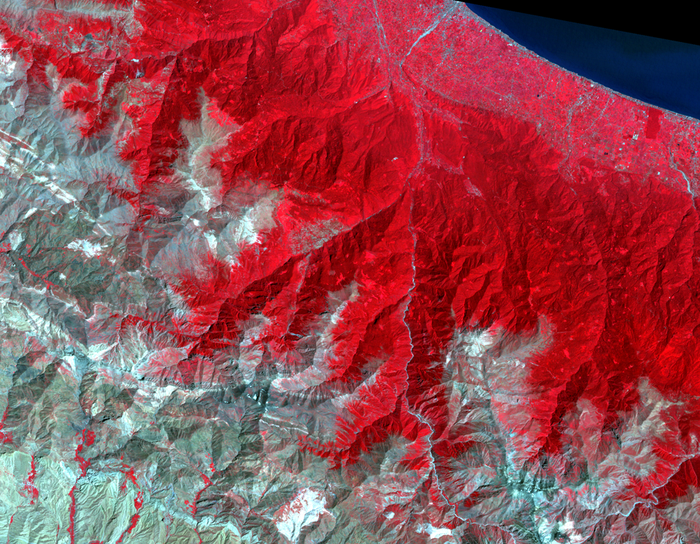
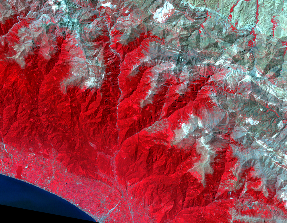
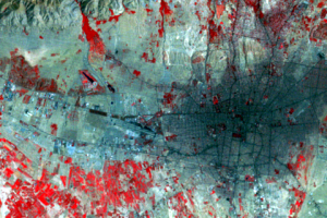
Look at the zoomed in images by the coast. Can you tell the peaks (that is, the ridges) from the valleys? It may seem easy, but you may be tricked by a common optical illusion in satellite images called relief inversion.
All Landsat images are designed to be morning views, so all of these images were taken in the morning. The Sun is to the east and south, so these images are lit from below and to the right. This causes the western and northwestern slopes to appear dark because they face the sun less squarely, and so are less illuminated.
However, we unconsciously expect to see images lit from above. This tricks the brain into believing that mountains are valleys or that craters are mountains. If you look at the image upside-down, with the sun angle generally from the top of the image, you will probably see the image differently.
Imagery
Every picture has a story to tell
Correlated
Additional story information
Downloads
Other Stories
Related imagery and additional content
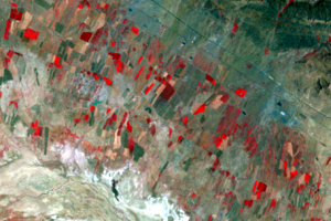
Agriculture
Irrigated agriculture in the valley, shown by the red field patterns, ...
Can You Tell the Ridges from the Valleys?
Look at the zoomed in images by the coast. Can you tell the peaks (tha...
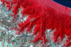
Tehran
In the lower right of the main images is Tehran, the capital and large...