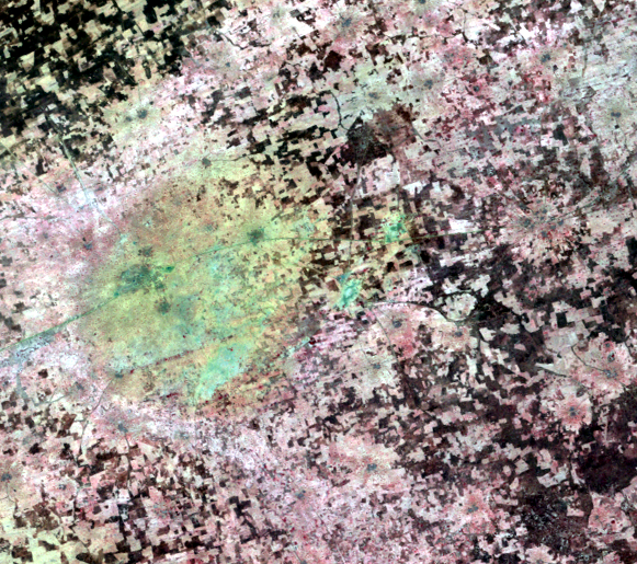
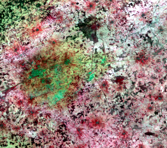
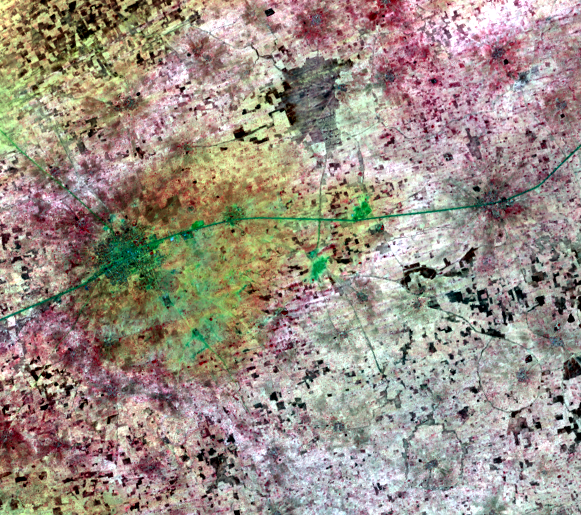
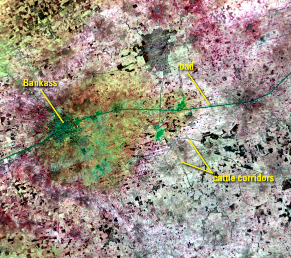
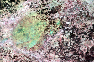
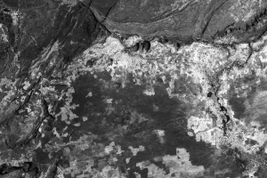
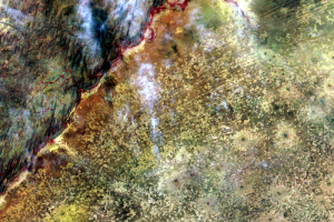
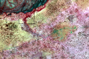
Some of the dark lines in the images might look like roads. Those lines are a transportation network of sorts, just not transportation for people. They are cattle corridors that connect grazing lands (dark patches) and sometimes connect to villages. They are lined with hedges to keep the cattle out of the crops.
One line that goes all the way across these images is indeed a road. It passes through the city of Bankass. But the other lines are cattle corridors.


