

City Growth
Earth Resources Observation and Science (EROS) Center - Earthshots
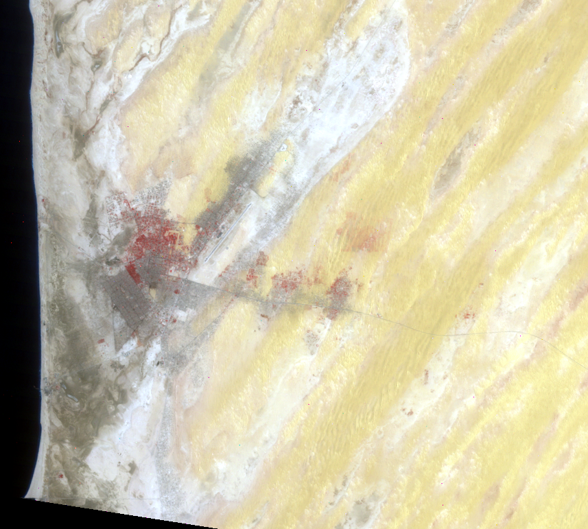
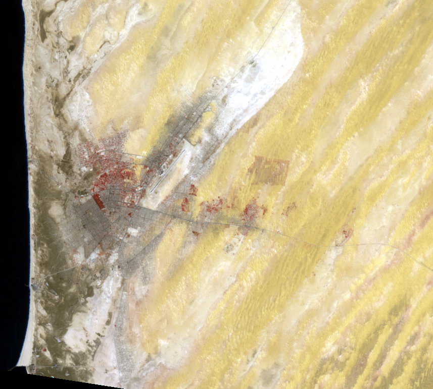
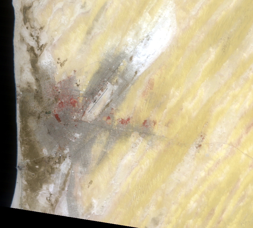
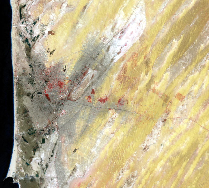
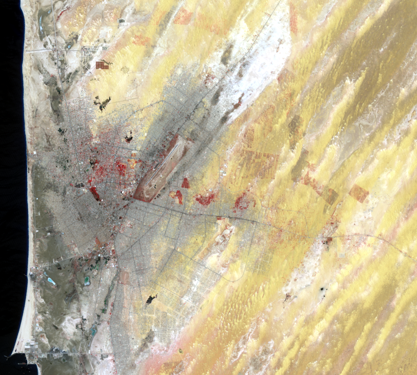
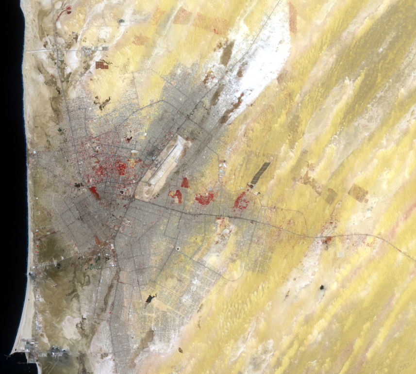
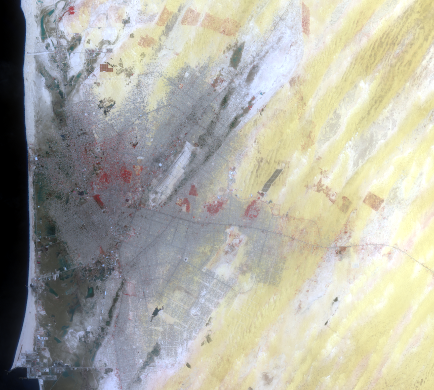
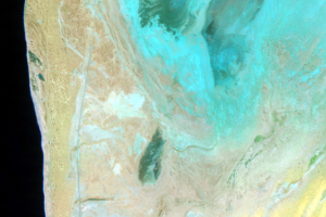
Nouakchott was a small fishing village for hundreds of years. As recently as 1950, it had only about 200 residents. Drought throughout the 1970s brought migrants to the city, and its population swelled to about 150,000 in 1980. It now has just over 1 million people, and its urbanized area has changed from 5 km2 in 1965 to 150 km2 in 2016.
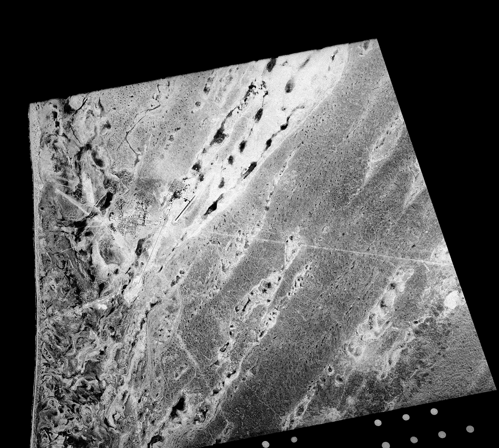
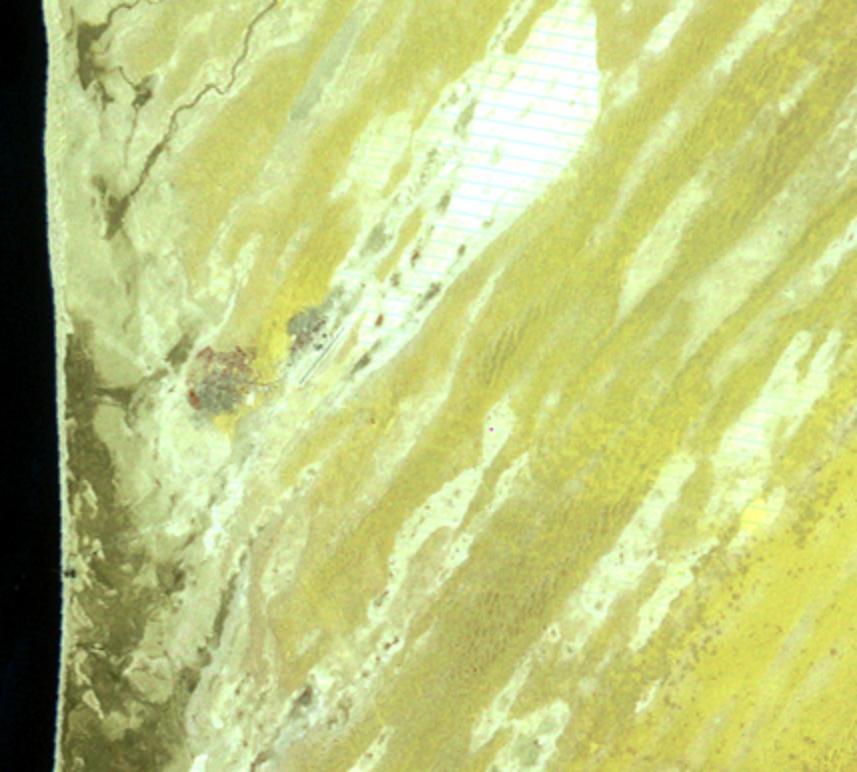
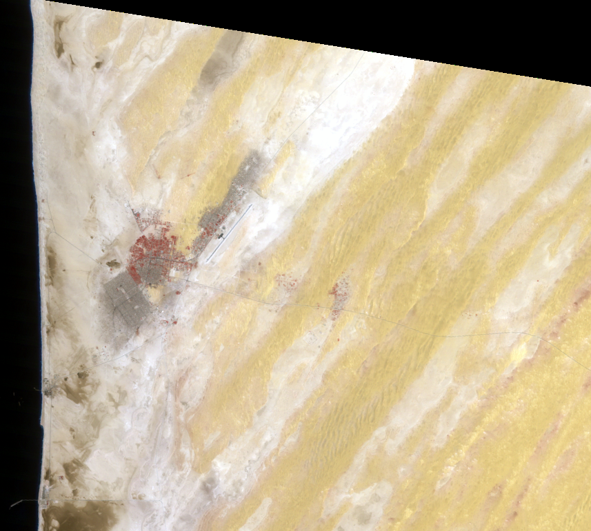
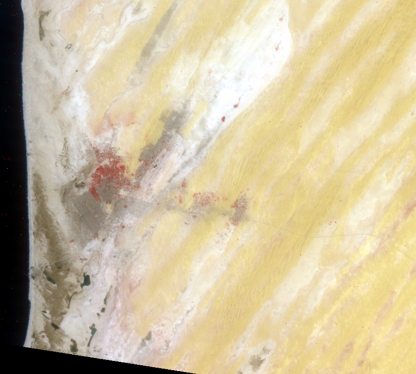
A 1965 close-up of Nouakchott from the Corona satellite shows the extent of the city at that time. Since then, the city’s expansion has been horizontal, spreading outward. Much of city’s urban growth occurs in informal settlements, which can be seen in the later Landsat images in the varying patterns of urban areas. Streets go in multiple directions and sprawl unevenly across the desert from the city’s center.
This may be against conventional wisdom, but this growing city in the desert is at high risk for flooding. The city is mostly below sea level and vulnerable to rising groundwater levels, seawater intrusions, porous soils, sand extractions, and heavy rains in low-lying areas.
In recent years, the number of rainy days has been increasing. The biggest problem is that a large amount of rain can fall in a short period of time. Since the groundwater level is high, and the type of soil there is not very good at absorbing even a small amount of rain water, rain cannot infiltrate into the ground. These factors lead to a city at high risk. In fact, heavy rains in August 2013 caused flooding in Nouakchott and south-central Mauritania.
Imagery
Every picture has a story to tell
Correlated
Additional story information
Downloads
Other Stories
Related imagery and additional content
City Growth
Nouakchott was a small fishing village for hundreds of years. As recen...
New Airport
Nouakchott’s airport is visible as the straight diagonal line near the...
Re-greening
Nouakchott is surrounded by a succession of sand dune belts, some of w...