

Dallas-Fort Worth International Airport
Earth Resources Observation and Science (EROS) Center - Earthshots
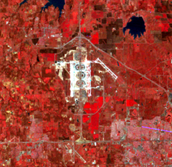
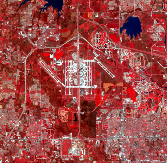
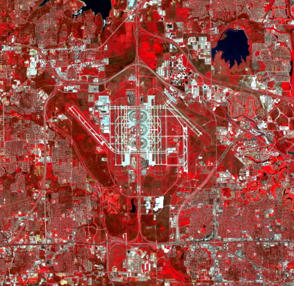
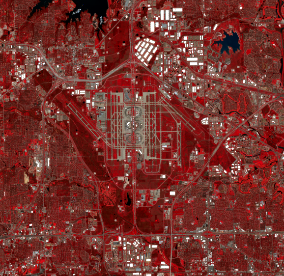
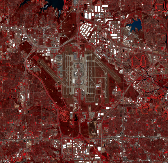
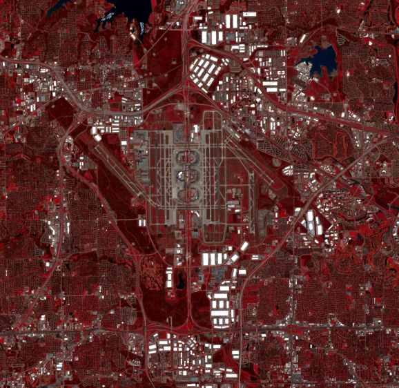
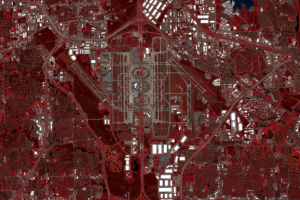
Dallas-Fort Worth International Airport, between Dallas and Fort Worth, opened the year of the first Landsat image shown here, 1974. A new runway added after 1974 can be seen west of the airport in the 1989 image. The north-south runway on the east side opened in 1996 and appears in images from 2000 and later. The airport covers almost 30 square miles, making it the second largest airport in the United States.
Imagery
Downloads
Related Content
Dallas, Texas, USA
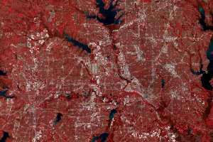
These images show the Dallas–Fort Worth metropolis in northeastern Tex...
Dallas-Fort Worth International Airport
Dallas-Fort Worth International Airport, between Dallas and Fort Worth...
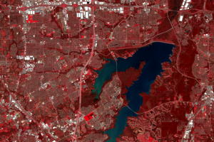
Joe Pool Lake
Joe Pool Lake, southwest of Dallas, is not present in the 1974 image a...
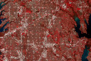
Rapid Suburban Expansion
Over the last few decades, Dallas’ urban/suburban areas have expanded ...